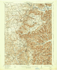
1917 Map of Bainbridge
USGS Topo · Published 1936About this map
Serpent Mound stands as a prominent ancient landmark in the southwestern portion of this region, which was surveyed during the mid-1910s. The landscape is defined by the sharp convergence of several counties—Highland, Pike, Ross, and Adams—among a series of prominent ridges including Bee Ridge and Turner Ridge. The Detroit Toledo and Ironton RR follows the valley of Paint Creek through the settlement of Bainbridge, which serves as a northern hub.
Find a feature on this map
117 named features on this map. Tap any name to fly to it.
Don’t see what you’re looking for? This feature index may not catch every label — zoom into the map to look around manually.
Map Details
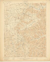
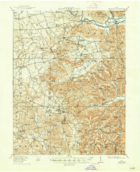
Editions of this 1917 Bainbridge Map
4 editions found
Other maps of this area

1912 · Roxabell
USGS Topo · 1:62,500

1914 · Roxabell
USGS Topo · 1:62,500

1915 · Bainbridge
USGS Topo · 1:48,000

1915 · Otway
USGS Topo · 1:62,500

1915 · Piketon
USGS Topo · 1:62,500

1916 · Peebles
USGS Topo · 1:62,500

1917 · Bainbridge
USGS Topo · 1:62,500

1917 · Piketon
USGS Topo · 1:62,500

1917 · Greenfield
USGS Topo · 1:62,500

1917 · Hillsboro
USGS Topo · 1:62,500