
1917 Map of Bainbridge
USGS Topo · Published 1917About this map
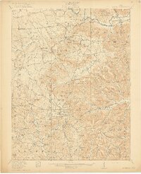
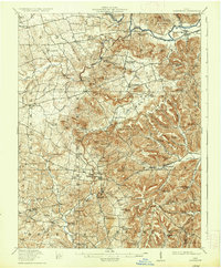
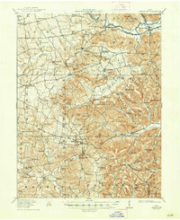
Serpent Mound and an ancient Indian Mound anchor this 1917 survey of the south-central Ohio highlands, where the terrain transitions into complex ridges and knobs. The landscape is defined by the drainage of Paint Creek and Ohio Brush Creek, supporting a network of early industry such as Barretts Mills, a Factory, and the McCoppin Mill. Small agricultural and milling communities like Sinking Spring, Rainsboro, and Bainbridge are connected by the Cincinnati Road.
Find a feature on this map
119 named features on this map. Tap any name to fly to it.
Don’t see what you’re looking for? This feature index may not catch every label — zoom into the map to look around manually.
Map Details
Editions of this 1917 Bainbridge Map
4 editions found
Other maps of this area

1912 · Roxabell
USGS Topo · 1:62,500

1914 · Roxabell
USGS Topo · 1:62,500

1915 · Bainbridge
USGS Topo · 1:48,000

1915 · Otway
USGS Topo · 1:62,500

1915 · Piketon
USGS Topo · 1:62,500

1916 · Peebles
USGS Topo · 1:62,500

1917 · Piketon
USGS Topo · 1:62,500

1917 · Greenfield
USGS Topo · 1:62,500

1917 · Hillsboro
USGS Topo · 1:62,500

1917 · Otway
USGS Topo · 1:62,500