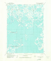
1953 Map of Baird Inlet B-5
USGS Topo · Published 1973About this map
Dall Lake dominates this 1953 landscape, a complex aquatic system of interconnected basins and narrow channels characteristic of the Yukon-Kuskokwim Delta. The map documents a period of significant conservation management within the Clarence Rhode National Wildlife Range Area No 2, as designated in the mid-20th century. The intricate web of tundra ponds and larger water bodies illustrates the saturated, low-lying terrain that serves as a critical habitat for migratory birds. This survey, compiled from 1952 aerial photography and 1953 field annotation, provides an exact record of the shoreline configurations and water-to-land ratios before later environmental shifts or management changes within the wildlife refuge boundaries.
Find a feature on this map
2 named features on this map. Tap any name to fly to it.
Don’t see what you’re looking for? This feature index may not catch every label — zoom into the map to look around manually.
Map Details
Editions of this 1953 Baird Inlet B-5 Map
3 editions found
Other maps of this area

1951 · Baird Inlet
USGS Topo · 1:250,000
1953 · Baird Inlet C-5
USGS Topo · 1:63,360
1953 · Baird Inlet C-6
USGS Topo · 1:63,360

1953 · Baird Inlet B-5
USGS Topo · 1:63,360
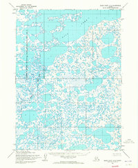
1954 · Baird Inlet A-5
USGS Topo · 1:63,360

1954 · Baird Inlet
USGS Topo · 1:250,000
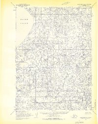
1954 · Baird Inlet C-4
USGS Topo · 1:63,360

1954 · Baird Inlet B-6
USGS Topo · 1:63,360
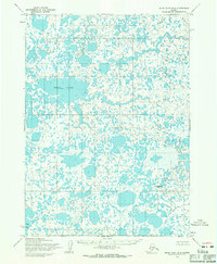
1954 · Baird Inlet B-4
USGS Topo · 1:63,360
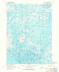
1954 · Baird Inlet A-6
USGS Topo · 1:63,360