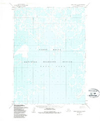
1953 Map of Baird Inlet B-5
USGS Topo · Published 1987About this map
Dall Lake dominates this aquatic landscape in western Alaska, where the vast wetlands of the Yukon Delta National Wildlife Refuge create a complex network of marshes, ponds, and small lakes. Based on surveys from 1952 and 1980 with minor revisions in 1987, the map illustrates the shifting hydrologic patterns of the region. The lack of named roads or established settlements emphasizes the character of the terrain, which consists entirely of unsurveyed and unmarked lands managed by the Bureau of Land Management. This specific sheet provides an essential record of the shoreline and swamp extents before more recent climate-driven changes altered the permafrost and drainage basins of the delta. It is a focused study of subarctic hydrology where water and land are in constant flux.
Find a feature on this map
5 named features on this map. Tap any name to fly to it.
Don’t see what you’re looking for? This feature index may not catch every label — zoom into the map to look around manually.
Map Details
Editions of this 1953 Baird Inlet B-5 Map
3 editions found
Other maps of this area

1951 · Baird Inlet
USGS Topo · 1:250,000
1953 · Baird Inlet C-5
USGS Topo · 1:63,360
1953 · Baird Inlet C-6
USGS Topo · 1:63,360

1953 · Baird Inlet B-5
USGS Topo · 1:63,360
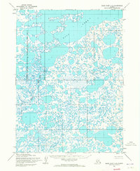
1954 · Baird Inlet A-5
USGS Topo · 1:63,360

1954 · Baird Inlet
USGS Topo · 1:250,000
1954 · Baird Inlet C-4
USGS Topo · 1:63,360

1954 · Baird Inlet B-6
USGS Topo · 1:63,360
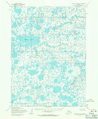
1954 · Baird Inlet B-4
USGS Topo · 1:63,360
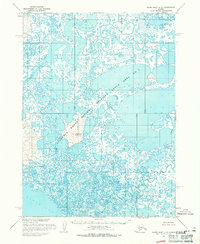
1954 · Baird Inlet A-6
USGS Topo · 1:63,360