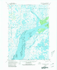
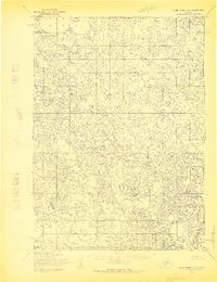
1954 Map of Baird Inlet C-1
USGS Topo · Published 1980About this map
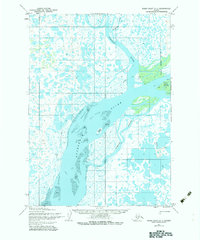
The Kuskokwim River dominates this delta landscape, carving a wide channel through a maze of wetlands and tidal flats in the mid-1950s. The region is defined by its waterborne geography, where the Johnson River and Lomavik Slough intersect a terrain dotted with countless unnamed lakes and ponds. Small outposts such as Nance, Whim, Johnson, and Loma represent the sparse human footprint in this environment, while the presence of the Napakiak Corporate Boundary near Fish Camp Island indicates the administrative reach into the tundra. Movement across this landscape is heavily seasonal, as shown by the Winter Trail networking through the lowlands. This survey, based on 1952 photography, records the intricate hydrology of the Baird Inlet region before modern infrastructure altered local navigation routes.
Find a feature on this map
19 named features on this map. Tap any name to fly to it.
Don’t see what you’re looking for? This feature index may not catch every label — zoom into the map to look around manually.
Map Details
Editions of this 1954 Baird Inlet C-1 Map
3 editions found
Other maps of this area

1950 · Bethel
USGS Topo · 1:250,000

1951 · Baird Inlet
USGS Topo · 1:250,000

1954 · Bethel D-8
USGS Topo · 1:63,360

1954 · Bethel B-8
USGS Topo · 1:63,360

1954 · Bethel C-8
USGS Topo · 1:63,360

1954 · Baird Inlet
USGS Topo · 1:250,000

1954 · Baird Inlet B-1
USGS Topo · 1:63,360
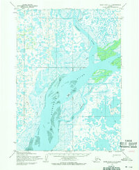
1954 · Baird Inlet C-1
USGS Topo · 1:63,360
1954 · Baird Inlet D-1
USGS Topo · 1:63,360
1954 · Baird Inlet C-2
USGS Topo · 1:63,360