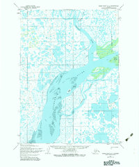
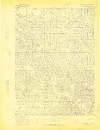
1954 Map of Baird Inlet C-1
USGS Topo · Published 1983About this map
The Kuskokwim River dominates this landscape, serving as a vital waterway for the subarctic delta before the era of modern development. Detailed topography reveals a complex network of seasonal channels and landforms, including Lomavik Slough and Fowler Island. Small, seasonal clusters of activity are identified by labels such as Cabins and Fish Camp Island, indicating the importance of subsistence fishing to the local culture. A Winter Trail cuts across the wetlands, showing the critical importance of frozen-ground transport in a region where solid terrain is scarce. Scattered individual settlements and landmarks like Nance, Whim, and Bear Point are documented by the Army Map Service, providing a rare look at specific points of occupancy and navigation in the mid-20th century Alaska wilderness.
Find a feature on this map
18 named features on this map. Tap any name to fly to it.
Don’t see what you’re looking for? This feature index may not catch every label — zoom into the map to look around manually.
Map Details
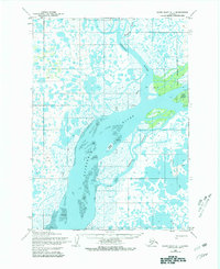
Editions of this 1954 Baird Inlet C-1 Map
3 editions found
Other maps of this area

1950 · Bethel
USGS Topo · 1:250,000

1951 · Baird Inlet
USGS Topo · 1:250,000

1954 · Bethel D-8
USGS Topo · 1:63,360

1954 · Bethel B-8
USGS Topo · 1:63,360

1954 · Bethel C-8
USGS Topo · 1:63,360

1954 · Baird Inlet
USGS Topo · 1:250,000

1954 · Baird Inlet B-1
USGS Topo · 1:63,360
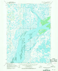
1954 · Baird Inlet C-1
USGS Topo · 1:63,360
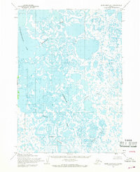
1954 · Baird Inlet D-1
USGS Topo · 1:63,360
1954 · Baird Inlet C-2
USGS Topo · 1:63,360