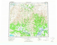
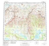
1956 Map of Baird Mountains
USGS Topo · Published 1966About this map
The Noatak River cuts a deep path through the north, carving the Grand Canyon and Sekuiak Canyon as it flows between the Isachefulich Mountains and the Maiyumerak Mountains. This mid-century survey captures a remote subarctic landscape defined by significant elevation changes, from Deviation Peak in the Kiana Hills to the complex river systems of the Baird Mountains.
Find a feature on this map
51 named features on this map. Tap any name to fly to it.
Don’t see what you’re looking for? This feature index may not catch every label — zoom into the map to look around manually.
Map Details
Editions of this 1956 Baird Mountains Map
7 editions found

Other maps of this area

1951 · De Long Mountains
USGS Topo · 1:250,000

1951 · Baird Mountains
USGS Topo · 1:250,000

1951 · Selawik
USGS Topo · 1:250,000

1951 · Shungnak
USGS Topo · 1:250,000

1951 · Noatak
USGS Topo · 1:250,000

1951 · Kotzebue
USGS Topo · 1:250,000

1951 · Howard Pass
USGS Topo · 1:250,000

1951 · Ambler River
USGS Topo · 1:250,000

1951 · Misheguk Mountain
USGS Topo · 1:250,000

1951 · Kotzebue D-1
USGS Topo · 1:63,360