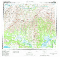
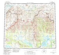
1956 Map of Baird Mountains
USGS Topo · Published 1982About this map
The Baird Mountains define this arctic landscape, where the Kobuk River and Noatak River carve through some of the most remote territory in the Northwest Arctic. This 1956 survey, revised in the early 1980s, captures the region's hydrography and topography just as large-scale conservation boundaries were being formalized. Evidence of seasonal movement and early resource access is visible through the Winter Trail that cuts through the southern portion of the sheet near the Kiana Hills.
Find a feature on this map
57 named features on this map. Tap any name to fly to it.
Don’t see what you’re looking for? This feature index may not catch every label — zoom into the map to look around manually.
Map Details
Editions of this 1956 Baird Mountains Map
7 editions found

Other maps of this area

1951 · De Long Mountains
USGS Topo · 1:250,000

1951 · Baird Mountains
USGS Topo · 1:250,000

1951 · Selawik
USGS Topo · 1:250,000

1951 · Shungnak
USGS Topo · 1:250,000

1951 · Noatak
USGS Topo · 1:250,000

1951 · Kotzebue
USGS Topo · 1:250,000

1951 · Howard Pass
USGS Topo · 1:250,000

1951 · Ambler River
USGS Topo · 1:250,000

1951 · Misheguk Mountain
USGS Topo · 1:250,000

1951 · Kotzebue D-1
USGS Topo · 1:63,360