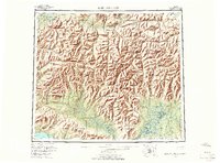
1956 Map of Baird Mountains
USGS Topo · Published 1966About this map
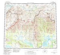
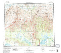
The Noatak River carves a dramatic path through the northern reaches of this mid-century Alaskan survey, defining a landscape dominated by the Baird Mountains and Maiyumerak Mountains. The intricate drainage patterns of the Squirrel River and Salmon River reveal the geological complexity of the Kiana Hills and Isacheluich Mountains. The map highlights remote hydrological features such as Lake Narvakrak and Lake Kangilipak, while the Grand Canyon of the Noatak signifies a major geographical landmark. In the southern portion, the confluence of numerous smaller tributaries like Klery Creek and Bear Creek suggests the seasonal flow patterns that shaped local travel and subsistence. This 1950s aerial photography captures the region's wilderness character before the era of modern development, providing a record of named peaks like Deviation Peak and Nakolik Mtn in their isolated state.
Find a feature on this map
47 named features on this map. Tap any name to fly to it.
Don’t see what you’re looking for? This feature index may not catch every label — zoom into the map to look around manually.
Map Details
Editions of this 1956 Baird Mountains Map
7 editions found

Other maps of this area

1951 · De Long Mountains
USGS Topo · 1:250,000

1951 · Baird Mountains
USGS Topo · 1:250,000

1951 · Selawik
USGS Topo · 1:250,000

1951 · Shungnak
USGS Topo · 1:250,000

1951 · Noatak
USGS Topo · 1:250,000

1951 · Kotzebue
USGS Topo · 1:250,000

1951 · Howard Pass
USGS Topo · 1:250,000

1951 · Ambler River
USGS Topo · 1:250,000

1951 · Misheguk Mountain
USGS Topo · 1:250,000

1951 · Kotzebue D-1
USGS Topo · 1:63,360