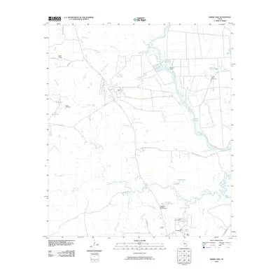
2010 Map of Baker Lake
USGS Topo · Published 2010About this map
The Trinity River and its intricate network of drainage creeks define this pocket of Walker County, where managed water systems and agricultural lands dominate the landscape. In the northeastern quadrant, the Eastham State Prison Farm sits adjacent to the Eastham Levee and Eastham Reservoir, indicating a highly structured use of the bottomlands. To the south, the settlement of Falba and the nearby Falba Cemetery provide a focal point for local genealogy, situated near the confluence of South Bedias Creek and Cedar Creek.
Find a feature on this map
43 named features on this map. Tap any name to fly to it.
Don’t see what you’re looking for? This feature index may not catch every label — zoom into the map to look around manually.
Map Details
Editions of this 2010 Baker Lake Map
This is the sole edition of this map. No revisions or reprints were ever made.
Other maps of this area

1953 · Palestine
USGS Topo · 1:250,000

1954 · Beaumont
USGS Topo · 1:250,000

1957 · Beaumont
USGS Topo · 1:250,000

1957 · Palestine
USGS Topo · 1:250,000

1962 · Pine Prairie
USGS Topo · 1:24,000

1962 · Connor
USGS Topo · 1:24,000

1962 · Wyser Bottom
USGS Topo · 1:24,000

1962 · Baker Lake
USGS Topo · 1:24,000

1963 · Steep Branch
USGS Topo · 1:24,000

1963 · Crabbs Prairie
USGS Topo · 1:24,000