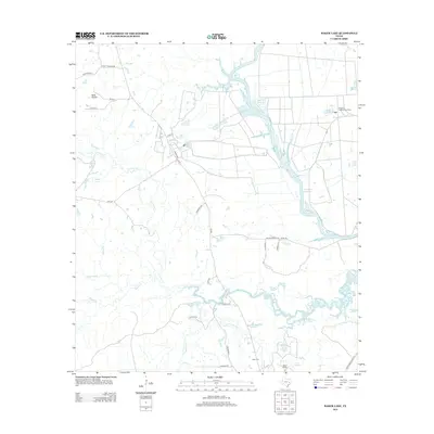
2013 Map of Baker Lake
USGS Topo · Published 2013About this map
Bedias Creek and its many tributaries, including South Bedias Creek and Black Oak Branch, define this low-lying stretch of Walker County. The landscape is heavily shaped by water management and rural ranching, featuring numerous impoundments such as Eastham Reservoir, Ferguson Reservoir Number 1, and the sprawling Livingston Reservoir along the eastern edge. This area is also home to the Eastham State Prison Farm, a significant institutional footprint in the northern portion of the quadrangle.
Find a feature on this map
42 named features on this map. Tap any name to fly to it.
Don’t see what you’re looking for? This feature index may not catch every label — zoom into the map to look around manually.
Map Details
Editions of this 2013 Baker Lake Map
This is the sole edition of this map. No revisions or reprints were ever made.
Other maps of this area

1953 · Palestine
USGS Topo · 1:250,000

1954 · Beaumont
USGS Topo · 1:250,000

1957 · Beaumont
USGS Topo · 1:250,000

1957 · Palestine
USGS Topo · 1:250,000

1962 · Pine Prairie
USGS Topo · 1:24,000

1962 · Connor
USGS Topo · 1:24,000

1962 · Wyser Bottom
USGS Topo · 1:24,000

1962 · Baker Lake
USGS Topo · 1:24,000

1963 · Steep Branch
USGS Topo · 1:24,000

1963 · Crabbs Prairie
USGS Topo · 1:24,000