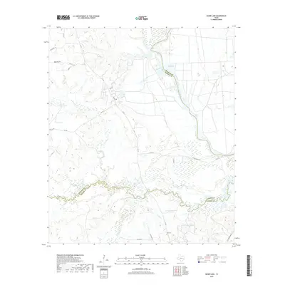
2019 Map of Baker Lake
USGS Topo · Published 2019About this map
The Trinity River defines the landscape of this region, winding through the convergence of Houston, Madison, and Walker counties. The river's floodplain is characterized by an intricate network of oxbow lakes and reservoirs, including Eastham Reservoir, Ford Lake, and Carson Lake. To the south, Bedias Cr forms the boundary between Madison and Walker counties, joined by tributaries such as Black Oak Br and Cedar Cr. This complex hydrology suggests a lowland environment subject to seasonal shifts and high water tables.
Find a feature on this map
36 named features on this map. Tap any name to fly to it.
Don’t see what you’re looking for? This feature index may not catch every label — zoom into the map to look around manually.
Map Details
Editions of this 2019 Baker Lake Map
This is the sole edition of this map. No revisions or reprints were ever made.
Other maps of this area

1953 · Palestine
USGS Topo · 1:250,000

1954 · Beaumont
USGS Topo · 1:250,000

1957 · Beaumont
USGS Topo · 1:250,000

1957 · Palestine
USGS Topo · 1:250,000

1962 · Pine Prairie
USGS Topo · 1:24,000

1962 · Connor
USGS Topo · 1:24,000

1962 · Wyser Bottom
USGS Topo · 1:24,000

1962 · Baker Lake
USGS Topo · 1:24,000

1963 · Steep Branch
USGS Topo · 1:24,000

1963 · Crabbs Prairie
USGS Topo · 1:24,000