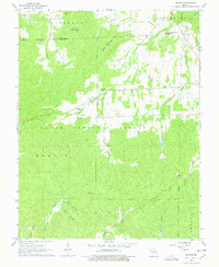
1968 Map of Banner
USGS Topo · Published 1978About this map
Pruitt Mountain and Logan Mountain dominate this landscape within the Clark National Forest, where the topography reflects a rugged transition between the high ridges and the cultivated lowlands of the Belgrade and Belleview districts. The settlement of Banner sits at the intersection of several valley roads, serving as a central point for the surrounding rural community. Evidence of long-standing local families is found in the many small burial grounds and congregations dotting the terrain, including Thomas Chapel Cem, Tullock Cem, and the Full Gospel Chapel.
Find a feature on this map
32 named features on this map. Tap any name to fly to it.
Don’t see what you’re looking for? This feature index may not catch every label — zoom into the map to look around manually.
Map Details
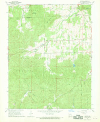
Editions of this 1968 Banner Map
2 editions found
Other maps of this area

1905 · Bonneterre
USGS Topo · 1:62,500

1906 · Potosi
USGS Topo · 1:62,500

1924 · Edgehill
USGS Topo · 1:62,500

1926 · Edgehill
USGS Topo · 1:62,500

1937 · Ironton
USGS Topo · 1:48,000

1945 · Ironton
USGS Topo · 1:62,500

1946 · Ironton
USGS Topo · 1:62,500

1949 · Rolla
USGS Topo · 1:250,000

1953 · Ironton
USGS Topo · 1:62,500

1953 · Rolla
USGS Topo · 1:250,000