
1923 Map of Barrington
USGS Topo · Published 1923About this map
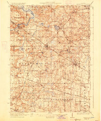
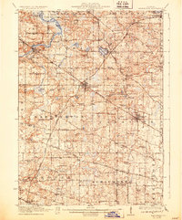
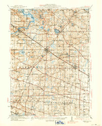
Barrington and Palatine serve as the primary rail-connected hubs in this early 20th-century landscape, positioned where the Chicago and Northwestern and Elgin Joliet and Eastern Ry intersect. The terrain is characterized by a dense network of one-room schoolhouses, such as Plum Branch School and Wittenberg School, alongside early recreation sites like Speeck Resort on the Fox River.
Find a feature on this map
92 named features on this map. Tap any name to fly to it.
Don’t see what you’re looking for? This feature index may not catch every label — zoom into the map to look around manually.
Map Details
Editions of this 1923 Barrington Map
4 editions found
Other maps of this area

1891 · Riverside
USGS Topo · 1:62,500

1893 · Riverside
USGS Topo · 1:62,500

1900 · Riverside
USGS Topo · 1:62,500

1900 · Highwood
USGS Topo · 1:62,500

1901 · Riverside
USGS Topo · 1:62,500

1906 · Waukegan
USGS Topo · 1:62,500

1908 · Wheaton
USGS Topo · 1:62,500

1908 · Waukegan
USGS Topo · 1:62,500

1920 · Grays Lake
USGS Topo · 1:62,500

1923 · Grays Lake
USGS Topo · 1:62,500