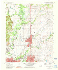
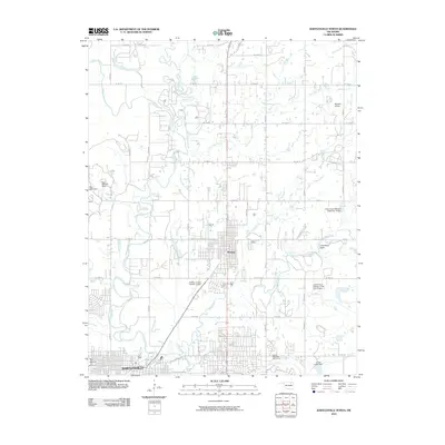
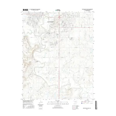
1971 Map of Bartlesville North
USGS Topo · Published 1990About this map
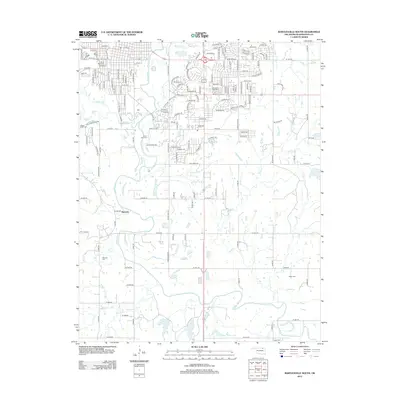
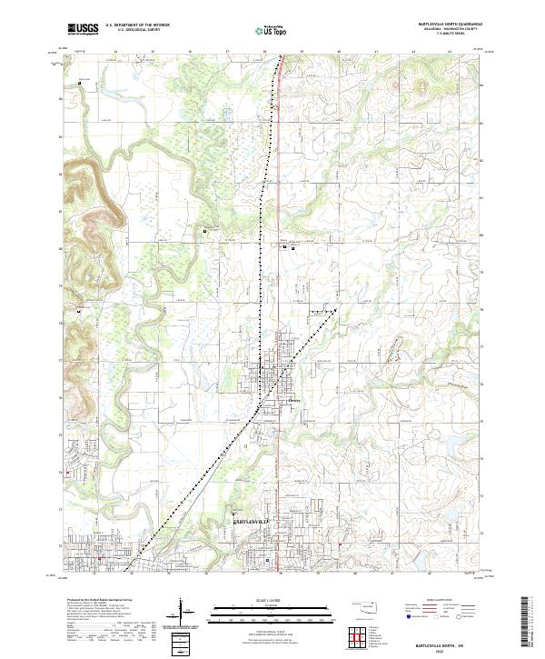
Jefferson Oil Field dominates the central and eastern sections of this northern Oklahoma landscape, where the petroleum industry and agricultural river valleys meet. The survey highlights the significant industrial footprint of the Atchison Topeka Santa Fe and Missouri-Kansas-Texas railroad lines, which converge near the town of Dewey. The Caney River and Little Caney River snake through the western portion of the map, creating a fertile floodplain contrasted by the structured grid of northern Bartlesville. This era of the 1970s shows a community deeply invested in local infrastructure, evidenced by numerous educational sites such as Lincoln Sch, Olympia Sch, and Bluestem Sch. Civic spaces like Johnstone Park and the Adams Municipal Golf Course define the southern limits, while several quarries along Limestone Draw point to the region's mineral extraction history beyond just oil and gas.
Find a feature on this map
47 named features on this map. Tap any name to fly to it.
Don’t see what you’re looking for? This feature index may not catch every label — zoom into the map to look around manually.
Map Details
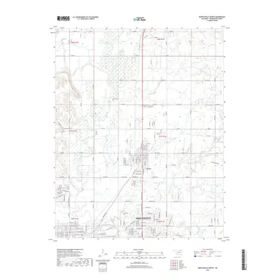
Editions of this 1971 Bartlesville North Map
2 editions found
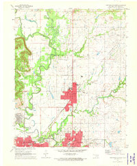
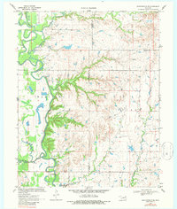
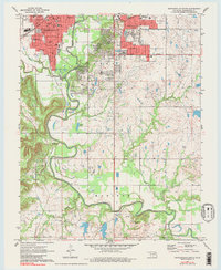
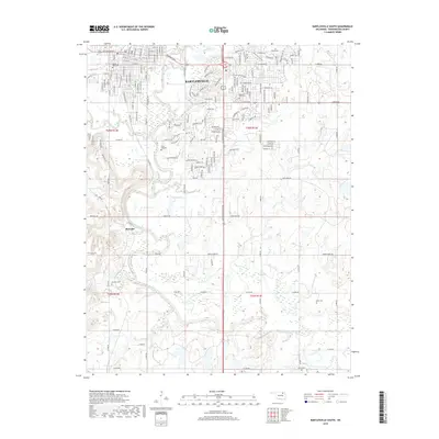
Historical Maps of Bartlesville Through Time
18 maps found
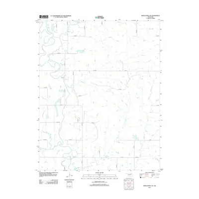
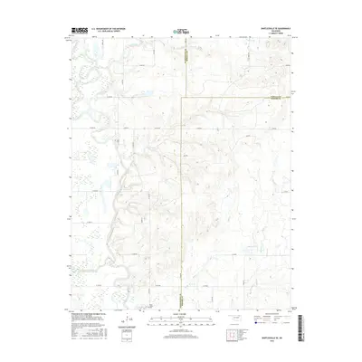
1970 Bartlesville SE
Washington County, OK
1971 Bartlesville North
Washington County, OK
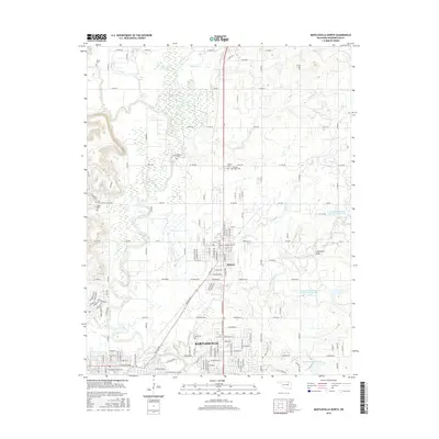
1971 Bartlesville South
Washington County, OK
2010 Bartlesville North
Washington County, OK
2010 Bartlesville SE
Washington County, OK
2010 Bartlesville South
Washington County, OK
2012 Bartlesville North
Washington County, OK
2012 Bartlesville SE
Washington County, OK
2012 Bartlesville South
Washington County, OK
2016 Bartlesville North
Washington County, OK
2016 Bartlesville SE
Washington County, OK
2016 Bartlesville South
Washington County, OK
2019 Bartlesville North
Washington County, OK
2019 Bartlesville SE
Washington County, OK
2019 Bartlesville South
Washington County, OK
2022 Bartlesville North
Washington County, OK
2022 Bartlesville SE
Washington County, OK
2022 Bartlesville South
Washington County, OK