
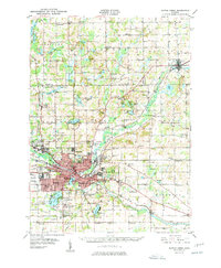
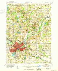
1950 Map of Battle Creek
USGS Topo · Published 1950About this map
Battle Creek sits at the confluence of the Kalamazoo River and the Battle Creek in this mid-century survey, revealing a landscape defined by industrial expansion and educational growth. The urban core is surrounded by neighborhoods like Urbandale, Verona, and Maplehurst, while the city's reach is marked by major transport corridors including the Michigan Central and Grand Trunk railroads. Significant landmarks like the Kellogg Air Base and the Kellogg Biological Reserve anchor the west and central portions of the map, reflecting the region's diverse military and scientific contributions. The surrounding countryside is densely populated with small-town nodes and country schools, such as the Cobblestone Sch and Lockwood Sch, indicating a well-distributed rural community. Numerous water bodies like St Marys Lake and Goguac Lake provide a natural counterpoint to the busy rail and road networks of Calhoun Co, providing a glimpse into the leisure and agrarian patterns of the era.
Find a feature on this map
125 named features on this map. Tap any name to fly to it.
Don’t see what you’re looking for? This feature index may not catch every label — zoom into the map to look around manually.
Map Details
Editions of this 1950 Battle Creek Map
3 editions found
Other maps of this area

1918 · Battle Creek
USGS Topo · 1:62,500

1918 · Union City
USGS Topo · 1:62,500

1918 · Galesburg
USGS Topo · 1:62,500

1918 · Leonidas
USGS Topo · 1:62,500

1921 · Marshall
USGS Topo · 1:62,500

1923 · Marshall
USGS Topo · 1:62,500

1943 · Battle Creek
USGS Topo · 1:62,500

1943 · Marshall
USGS Topo · 1:62,500

1944 · Leonidas
USGS Topo · 1:62,500

1944 · Galesburg
USGS Topo · 1:62,500