
1914 Map of Battle Lake
USGS Topo · Published 1914About this map
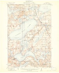
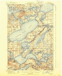
Otter Tail Lake dominates this landscape of the early 1910s, surrounded by a complex network of glacial basins and early resort communities. The town of Battle Lake serves as a local hub along the Northern Pacific railroad, while smaller settlements like Clitherall, Vining, and Amor dot the township grid. This period reveals the nascent recreational character of the region, evidenced by seasonal landmarks such as Camp Nidaros, Island Lodge, and Minnerhoka Camp.
Find a feature on this map
85 named features on this map. Tap any name to fly to it.
Don’t see what you’re looking for? This feature index may not catch every label — zoom into the map to look around manually.
Map Details
Editions of this 1914 Battle Lake Map
3 editions found
Other maps of this area

1912 · Vergas
USGS Topo · 1:62,500

1912 · Battle Lake
USGS Topo · 1:62,500

1913 · Ashby
USGS Topo · 1:62,500

1915 · Underwood
USGS Topo · 1:62,500

1915 · Perham
USGS Topo · 1:62,500

1915 · Vergas
USGS Topo · 1:62,500

1953 · Brainerd
USGS Topo · 1:250,000

1957 · Brainerd
USGS Topo · 1:250,000

1958 · Brainerd
USGS Topo · 1:250,000

1965 · Brainerd
USGS Topo · 1:250,000