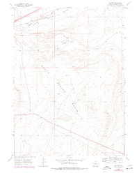
1968 Map of Baxter
USGS Topo · Published 1978About this map
The Overland Trail cuts across this high desert landscape of Sweetwater County, tracing a historic path of western migration alongside the industrial corridor of the Union Pacific railroad. The terrain is dominated by the expansive depression of the North Baxter Basin and South Baxter Basin, where the drainage of Bitter Creek flows toward the west. This 1968 survey, with 1970s photogrammetric updates, highlights the region's mid-century energy development, evidenced by numerous Gas Wells and drill holes scattered across the sagebrush. Centered in the quadrangle, the Rock Springs Airport serves as a modern landmark, while a prominent Radio Tower stands on the eastern ridgeline. The map provides a detailed view of the infrastructure supporting Wyoming’s ranching and resource extraction economy during a period of steady industrial transition.
Find a feature on this map
10 named features on this map. Tap any name to fly to it.
Don’t see what you’re looking for? This feature index may not catch every label — zoom into the map to look around manually.
Map Details
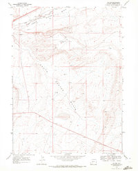
Editions of this 1968 Baxter Map
2 editions found
Other maps of this area

1908 · Rock Springs
USGS Topo · 1:62,500

1910 · Rock Springs
USGS Topo · 1:62,500

1954 · Rock Springs
USGS Topo · 1:250,000

1958 · Rock Springs
USGS Topo · 1:250,000

1962 · Rock Springs
USGS Topo · 1:250,000

1968 · North Baxter
USGS Topo · 1:24,000

1968 · Point Of Rocks SW
USGS Topo · 1:24,000
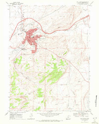
1968 · Rock Springs
USGS Topo · 1:24,000
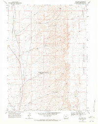
1968 · Reliance
USGS Topo · 1:24,000

1968 · Camel Rock
USGS Topo · 1:24,000