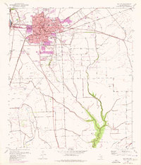
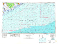
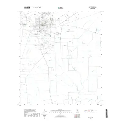
1952 Map of Bay City
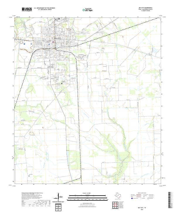
USGS Topo · Published 1976About this map
Bay City serves as a major hub for the coastal prairie region of Matagorda County, where the intersection of three major railroads shaped the local economy. The presence of the Southern Pacific, Missouri Pacific, and Atchison Topeka and Santa Fe lines underscores the town's role as a shipping point for agricultural and industrial goods. The map reveals an educational landscape focused on the town's core, featuring the Jefferson Davis Sch, Jr High Sch, and Hilliard Sch.
Find a feature on this map
32 named features on this map. Tap any name to fly to it.
Don’t see what you’re looking for? This feature index may not catch every label — zoom into the map to look around manually.
Map Details
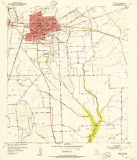
Editions of this 1952 Bay City Map
2 editions found
Historical Maps of Bay City Through Time
10 maps found

1951 Bay City
Matagorda County, TX
1952 Bay City
Matagorda County, TX
1956 Bay City
Matagorda County, TX
1958 Bay City
Matagorda County, TX
1974 Bay City
Matagorda County, TX
2010 Bay City
Matagorda County, TX
2013 Bay City
Matagorda County, TX
2016 Bay City
Matagorda County, TX
2019 Bay City
Matagorda County, TX
2022 Bay City
Matagorda County, TX