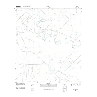
2010 Map of Bay City NE
USGS Topo · Published 2010About this map
Caney and Rugeley serve as the primary focal points of this coastal Texas landscape, where a dense network of bayous and sloughs dictates the rural settlement pattern. The meandering course of Caney Creek dominates the hydrology, supported by smaller waterways such as Hardeman Slough, Wildcat Slough, and Red Bayou. The presence of numerous family-named landmarks, including Hudgins Cemetery and Boone Cemetery, suggests a long history of local land ownership and established homesteads.
Find a feature on this map
45 named features on this map. Tap any name to fly to it.
Don’t see what you’re looking for? This feature index may not catch every label — zoom into the map to look around manually.
Map Details
Editions of this 2010 Bay City NE Map
This is the sole edition of this map. No revisions or reprints were ever made.
Other maps of this area

1950 · Houston
USGS Topo · 1:250,000

1951 · Bay City
USGS Topo · 1:250,000

1952 · Sweeny
USGS Topo · 1:24,000

1952 · Ashwood
USGS Topo · 1:24,000

1952 · Lake Austin
USGS Topo · 1:24,000

1952 · Bay City
USGS Topo · 1:24,000

1952 · Bay City NE
USGS Topo · 1:24,000

1952 · Van Vleck
USGS Topo · 1:24,000

1952 · Cedar Lane
USGS Topo · 1:24,000

1952 · Sargent
USGS Topo · 1:24,000