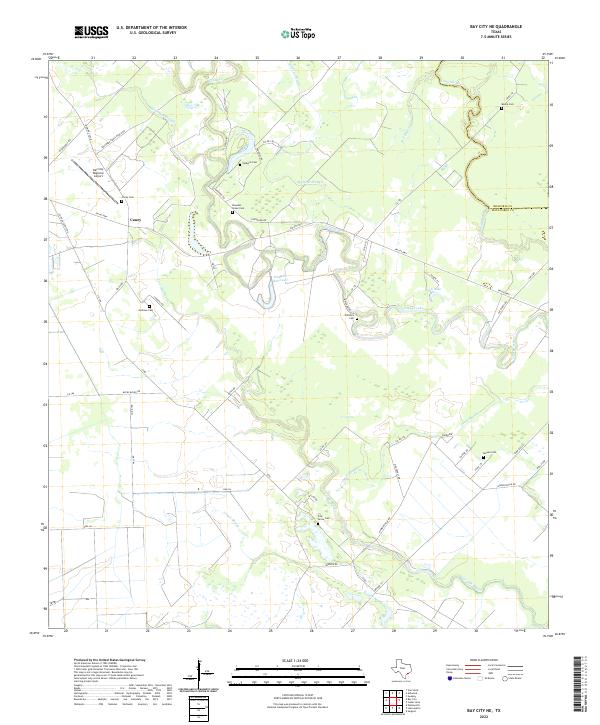
2022 Map of Bay City NE
USGS Topo · Published 2022About this map
Caney is the focal settlement in this 2022 survey of the low-lying Texas coastal plain, where the landscape is defined by an intricate network of waterways and ancestral family landmarks. The map traces the serpentine courses of Caney Creek and Live Oak Bayou, which feed into numerous sloughs and reservoirs, including the Hudgins Reservoir. This area of Matagorda County preserves a high density of small family and community burial grounds, such as Vine Grove Cem, Pleasant Green Cem, and Hudgins Cem, which are scattered across the agrarian landscape alongside ranch roads and country lanes. These cemeteries, often associated with historic plantations and early settlements, serve as key markers for genealogists tracing regional history. Modern development is anchored by the Bay City Regional Airport in the northwest, contrasting with the preservation of natural features like Coon Lake and the meandering Linnville Bayou along the Brazoria County line.
Find a feature on this map
60 named features on this map. Tap any name to fly to it.
Don’t see what you’re looking for? This feature index may not catch every label — zoom into the map to look around manually.
Map Details
Editions of this 2022 Bay City NE Map
This is the sole edition of this map. No revisions or reprints were ever made.
Other maps of this area

1950 · Houston
USGS Topo · 1:250,000

1951 · Bay City
USGS Topo · 1:250,000

1952 · Sweeny
USGS Topo · 1:24,000

1952 · Ashwood
USGS Topo · 1:24,000

1952 · Lake Austin
USGS Topo · 1:24,000

1952 · Bay City
USGS Topo · 1:24,000

1952 · Bay City NE
USGS Topo · 1:24,000

1952 · Van Vleck
USGS Topo · 1:24,000

1952 · Cedar Lane
USGS Topo · 1:24,000

1952 · Sargent
USGS Topo · 1:24,000