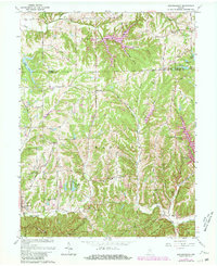
1962 Map of Beanblossom
USGS Topo · Published 1981About this map
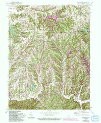
Beanblossom sits at the intersection of Indiana’s undulating timberland and a complex network of narrow hollows and ridges, captured here just as modern residential development began to overlay the older rural landscape. The map reveals a high density of country churches and small family burying grounds, such as Mt Carmel Cem and Calvin Cem, which serve as anchors for the scattered hamlets of Spearsville and Peoga. The rugged topography is defined by deep incisions like Pitcher Hollow and Wolfpen Hollow, which forced the early road networks—including the Spearsville Road—to follow the winding contours of the drainage basins.
Find a feature on this map
63 named features on this map. Tap any name to fly to it.
Don’t see what you’re looking for? This feature index may not catch every label — zoom into the map to look around manually.
Map Details
Editions of this 1962 Beanblossom Map
5 editions found
Other maps of this area

1942 · Franklin
USGS Topo · 1:125,000

1946 · Belmont
USGS Topo · 1:24,000

1947 · Nashville
USGS Topo · 1:24,000

1947 · Franklin
USGS Topo · 1:62,500

1948 · Franklin
USGS Topo · 1:24,000

1948 · New Bellsville
USGS Topo · 1:24,000

1948 · Trafalgar
USGS Topo · 1:24,000

1948 · Nineveh
USGS Topo · 1:24,000

1948 · Fruitdale
USGS Topo · 1:24,000

1948 · Morgantown
USGS Topo · 1:24,000