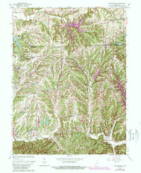
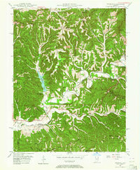
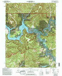
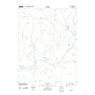
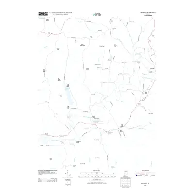
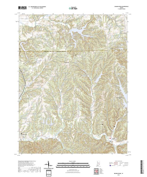
1962 Map of Beanblossom
USGS Topo · Published 1989About this map
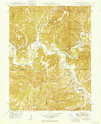
Spearsville and Beanblossom anchor this mid-century survey of the rugged northern Brown County hill country. The landscape is defined by the winding course of the North Fork Beanblossom Creek and the East Fork Salt Creek, which carve deep valleys into the Hamblen and Jackson townships. A significant network of rural life is visible through small community hubs, featuring several historic houses of worship including Friendship Ch and Bethlehem Ch.
Find a feature on this map
31 named features on this map. Tap any name to fly to it.
Don’t see what you’re looking for? This feature index may not catch every label — zoom into the map to look around manually.
Map Details
Editions of this 1962 Beanblossom Map
5 editions found
Historical Maps of Gatesville Through Time
32 maps found
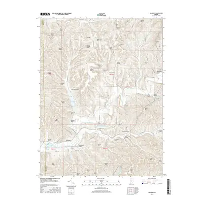
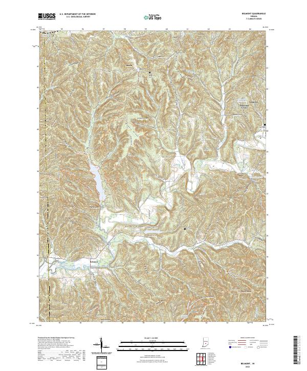
1946 Belmont
Brown County, IN
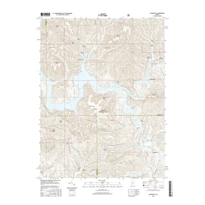
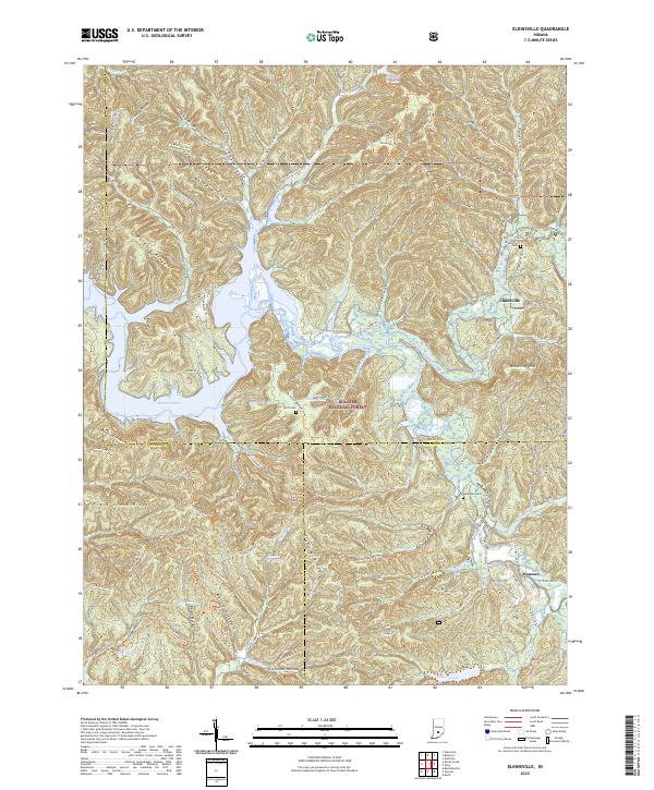
1947 Elkinsville
Brown County, IN
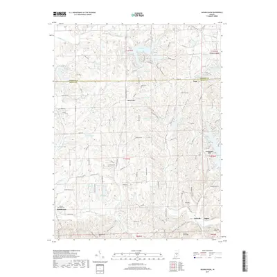
1948 Fruitdale
Brown County, IN
1950 Belmont
Brown County, IN
1950 Elkinsville
Brown County, IN
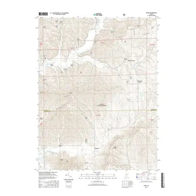
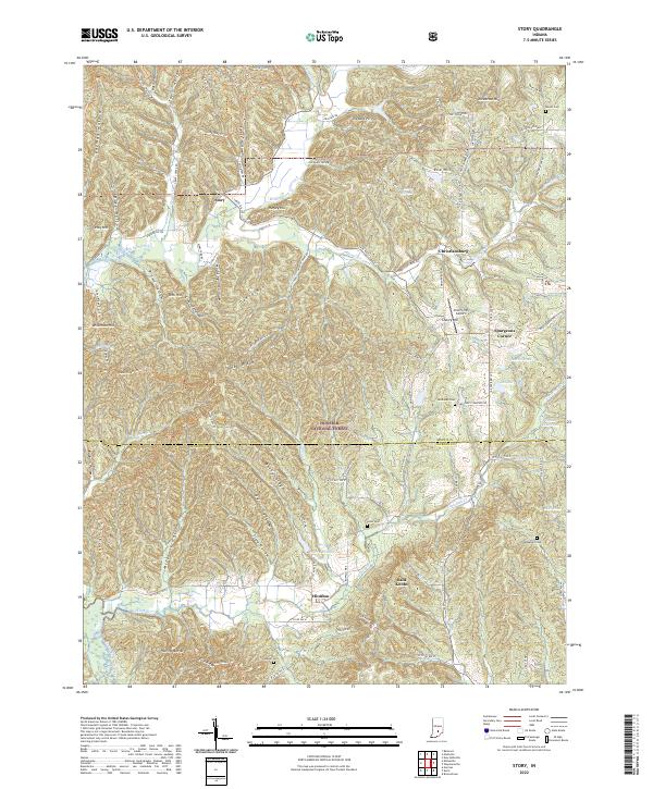
1956 Story
Brown County, IN
1962 Beanblossom
Brown County, IN
1966 Belmont
Brown County, IN
1966 Elkinsville
Brown County, IN
1967 Story
Brown County, IN
1993 Elkinsville
Brown County, IN

1998 Belmont
Brown County, IN
2010 Beanblossom
Brown County, IN
2011 Belmont
Brown County, IN
2011 Elkinsville
Brown County, IN
2011 Story
Brown County, IN
2013 Beanblossom
Brown County, IN
2013 Belmont
Brown County, IN
2013 Elkinsville
Brown County, IN
2013 Story
Brown County, IN
2016 Beanblossom
Brown County, IN
2016 Belmont
Brown County, IN
2016 Elkinsville
Brown County, IN
2016 Story
Brown County, IN
2019 Beanblossom
Brown County, IN
2019 Belmont
Brown County, IN
2019 Elkinsville
Brown County, IN
2019 Story
Brown County, IN
2022 Beanblossom
Brown County, IN
2022 Belmont
Brown County, IN
2022 Elkinsville
Brown County, IN
2022 Story
Brown County, IN