
1893 Map of Bear Valley
USGS Topo · Published 1893About this map
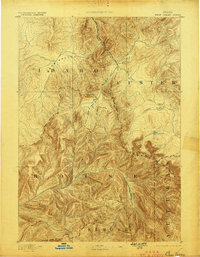
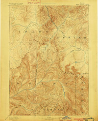
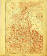
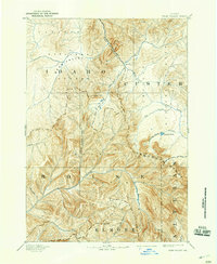
The Sawtooth Range dominates this late-nineteenth-century survey, which documents the complex river headwaters where the borders of Custer, Boise, Elmore, and Alturas counties meet. This high-altitude landscape is defined by the convergence of major watersheds, including the Middle Fork Salmon River, the Payette River, and the North Fork Boise River. At this time, the area remained largely undeveloped, with Cape Horn appearing as the primary named settlement point amidst a labyrinth of drainage systems like Warm Spring Creek and Marsh Creek. The mapping reveals a topographical transition between the broad expanse of Bear Valley and the sharp elevations of the eastern peaks. Notable landmarks such as Goat Lake and Fagus Creek provide specific points of reference for tracing early exploration and trail routes through this central Idaho territory.
Find a feature on this map
19 named features on this map. Tap any name to fly to it.
Don’t see what you’re looking for? This feature index may not catch every label — zoom into the map to look around manually.
Map Details
Editions of this 1893 Bear Valley Map
5 editions found
Other maps of this area

1891 · Bear Valley
USGS Topo · 1:125,000

1894 · Idaho Basin
USGS Topo · 1:125,000

1894 · Rocky Bar
USGS Topo · 1:125,000

1900 · Sawtooth
USGS Topo · 1:125,000

1909 · Garden Valley
USGS Topo · 1:125,000

1919 · Custer
USGS Topo · 1:125,000

1922 · Custer
USGS Topo · 1:125,000

1930 · Casto
USGS Topo · 1:125,000

1953 · Deadwood Reservoir
USGS Topo · 1:62,500

1954 · Warm Lake
USGS Topo · 1:62,500