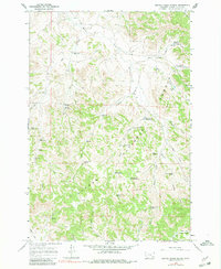
1966 Map of Beaver Creek School
USGS Topo · Published 1980About this map
Beaver Creek School serves as a lone landmark of community infrastructure within the high drainage basins of the Custer National Forest. The landscape is defined by an intricate network of draws and creeks, including Ash Creek, Cabin Creek, and Maxwell Creek, where water management was critical to local ranching and land use in the mid-1960s. The map documents a series of specialized water features, such as the Schiller Reservoir, Main Ash Reservoir, and several numbered improvements like Deer Creek Reservoir No 1.
Find a feature on this map
42 named features on this map. Tap any name to fly to it.
Don’t see what you’re looking for? This feature index may not catch every label — zoom into the map to look around manually.
Map Details
Editions of this 1966 Beaver Creek School Map
3 editions found

Other maps of this area

1954 · Hardin
USGS Topo · 1:250,000

1954 · Ekalaka
USGS Topo · 1:250,000

1956 · Ekalaka
USGS Topo · 1:250,000

1957 · Hardin
USGS Topo · 1:250,000

1958 · Ekalaka
USGS Topo · 1:250,000

1958 · Hardin
USGS Topo · 1:250,000

1965 · Ekalaka
USGS Topo · 1:250,000

1966 · Coleman Draw
USGS Topo · 1:24,000

1966 · Stacey
USGS Topo · 1:24,000

1966 · Home Creek Butte
USGS Topo · 1:24,000