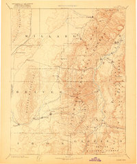
1885 Map of Beaver
USGS Topo · Published 1921About this map
Beaver and Fillmore anchor this late 19th-century reconnaissance survey, documenting the early development of south-central Utah as it appeared shortly after the Utah Central Railroad reached the region. The landscape is defined by the massive north-south cordillera of the Pavant Mountains and Tushar Mountains, which divide the high desert basins from the fertile valleys of the Sevier River. Evidence of the region’s agrarian and mining foundation is visible in the network of settlements such as Minersville, Kanosh, and Greenville, many of which were established near vital water sources like Chalk Creek and Coyote Spring. This map reflects the work of the Powell and Wheeler Surveys, capturing a period when the Fillmore National Forest and Fishlake National Forest boundaries were being codified alongside the livestock-and-rail economy of the day.
Find a feature on this map
49 named features on this map. Tap any name to fly to it.
Don’t see what you’re looking for? This feature index may not catch every label — zoom into the map to look around manually.
Map Details
Editions of this 1885 Beaver Map
5 editions found
Other maps of this area

1885 · Manti
USGS Topo · 1:250,000

1885 · St. George
USGS Topo · 1:250,000

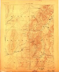
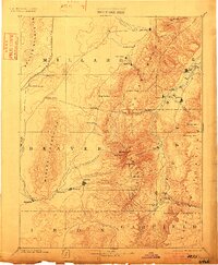
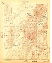
1885 · Beaver
USGS Topo · 1:250,000

1885 · Sevier Desert
USGS Topo · 1:250,000

1885 · Fish Lake
USGS Topo · 1:250,000

1886 · Kanab
USGS Topo · 1:250,000

1886 · Escalante
USGS Topo · 1:250,000

1891 · St. George
USGS Topo · 1:250,000

1895 · Manti
USGS Topo · 1:250,000

1896 · Fish Lake
USGS Topo · 1:250,000