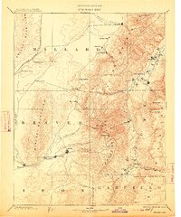
1885 Map of Beaver
USGS Topo · Published 1913About this map
The Pavant Mountains and Tushar Mountains dominate this late 19th-century landscape, acting as a high-altitude spine between the Sevier Plateau and the desert basins to the west. Settlement is concentrated along the river systems, with the Beaver and Minersville communities established along the Beaver River, while Richfield, Monroe, and Elsinore line the valley of the Sevier. This 1885 survey, reprinted in the early 20th century, illustrates the early transportation network of central Utah, including the San Pedro Los Angeles & Salt Lake Railroad cutting through the western mountains near Coyote Spring. The map documents the vital importance of water sources in this arid region, marking numerous remote sites like Black Rock Spring and Antelope Spring, which served as essential waypoints for travelers moving between the isolated mountain towns and the desert flats of Dog Valley.
Find a feature on this map
49 named features on this map. Tap any name to fly to it.
Don’t see what you’re looking for? This feature index may not catch every label — zoom into the map to look around manually.
Map Details
Editions of this 1885 Beaver Map
5 editions found
Other maps of this area

1885 · Manti
USGS Topo · 1:250,000

1885 · St. George
USGS Topo · 1:250,000

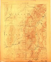
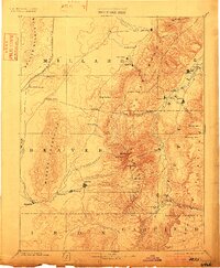
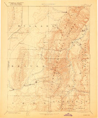
1885 · Beaver
USGS Topo · 1:250,000

1885 · Sevier Desert
USGS Topo · 1:250,000

1885 · Fish Lake
USGS Topo · 1:250,000

1886 · Kanab
USGS Topo · 1:250,000

1886 · Escalante
USGS Topo · 1:250,000

1891 · St. George
USGS Topo · 1:250,000

1895 · Manti
USGS Topo · 1:250,000

1896 · Fish Lake
USGS Topo · 1:250,000