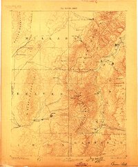
1885 Map of Beaver
USGS Topo · Published 1899About this map
Beaver and Richfield anchor this late-nineteenth-century survey of south-central Utah, a landscape defined by the high peaks of the Tushar Mountains and the Pavant Mountains. The settlement pattern reflects the era's reliance on water and topography, with towns like Monroe, Elsinore, and Joseph City clustered along the Sevier River valley. To the west, the Utah Central Railroad skirts the Beaver Mountains, marking the edge of the more arid basin terrain. High-altitude landmarks such as Delano Peak and Monroe Peak provide essential reference points for the Tushar and Sevier Plateau. This edition, based on the early Powell and Wheeler surveys, captures the region's development from the territorial capital at Fillmore down to the remote mining and agricultural outposts of Minersville and Kingston.
Find a feature on this map
48 named features on this map. Tap any name to fly to it.
Don’t see what you’re looking for? This feature index may not catch every label — zoom into the map to look around manually.
Map Details
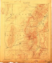
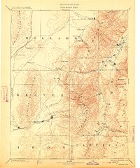
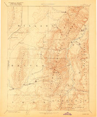
Editions of this 1885 Beaver Map
5 editions found
Other maps of this area

1885 · Manti
USGS Topo · 1:250,000

1885 · St. George
USGS Topo · 1:250,000

1885 · Beaver
USGS Topo · 1:250,000

1885 · Sevier Desert
USGS Topo · 1:250,000

1885 · Fish Lake
USGS Topo · 1:250,000

1886 · Kanab
USGS Topo · 1:250,000

1886 · Escalante
USGS Topo · 1:250,000

1891 · St. George
USGS Topo · 1:250,000

1895 · Manti
USGS Topo · 1:250,000

1896 · Fish Lake
USGS Topo · 1:250,000