
1885 Map of Beaver
USGS Topo · Published 1885About this map
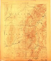
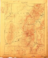
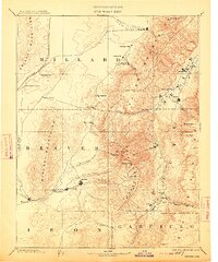
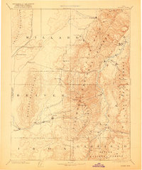
Beaver and Fillmore serve as the primary hubs of this late 19th-century survey, which documents the complex geography of south-central Utah as it appeared during the height of the territorial era. The settlement pattern follows the essential water sources, with clusters of towns like Adamsville, Greenville, and Minersville following the course of Beaver Creek. To the east, the Sevier River valley supports a string of communities including Richfield, Elsinore, and Monroe, all situated beneath the high peaks of the Tushar Mountains. The inclusion of the Utah Central Railroad cutting through the Beaver Mountains in the northwest quadrant signals the arrival of industrial transport to the region's mining and agricultural centers. Dramatic topographic transitions are mapped across the Pavant Mountains and the Sevier Plateau, providing genealogists a clear view of the distinct valleys that defined early pioneer life and commerce.
Find a feature on this map
49 named features on this map. Tap any name to fly to it.
Don’t see what you’re looking for? This feature index may not catch every label — zoom into the map to look around manually.
Map Details
Editions of this 1885 Beaver Map
5 editions found
Other maps of this area

1885 · Manti
USGS Topo · 1:250,000

1885 · St. George
USGS Topo · 1:250,000

1885 · Sevier Desert
USGS Topo · 1:250,000

1885 · Fish Lake
USGS Topo · 1:250,000

1886 · Kanab
USGS Topo · 1:250,000

1886 · Escalante
USGS Topo · 1:250,000

1891 · St. George
USGS Topo · 1:250,000

1895 · Manti
USGS Topo · 1:250,000

1896 · Fish Lake
USGS Topo · 1:250,000

1908 · Fish Springs
USGS Topo · 1:250,000