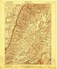
1910 Map of Bedford
USGS Topo · Published 1921About this map
Allegheny Mountains ridges define the western edge of this landscape, creating a dramatic geographic barrier known as the Allegheny Front. East of these summits, the terrain drops into a network of valleys where rural communities and industry took root in the early 20th century. Local milling and agriculture are evident at Mowrys Mills Weyant PO and Tyson Mill, while the Pennsylvania RR corridor through Cessna and Fishertown Sta highlights the importance of rail connectivity to the regional economy.
Find a feature on this map
83 named features on this map. Tap any name to fly to it.
Don’t see what you’re looking for? This feature index may not catch every label — zoom into the map to look around manually.
Map Details
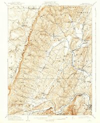
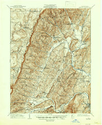
Editions of this 1910 Bedford Map
4 editions found
Other maps of this area

1900 · Everett
USGS Topo · 1:62,500

1902 · Everett
USGS Topo · 1:62,500

1902 · Ebensburg
USGS Topo · 1:62,500

1902 · Hollidaysburg
USGS Topo · 1:62,500

1903 · Hollidaysburg
USGS Topo · 1:62,500

1904 · Ebensburg
USGS Topo · 1:62,500

1904 · Johnstown
USGS Topo · 1:62,500

1907 · Johnstown
USGS Topo · 1:62,500

1908 · Bedford
USGS Topo · 1:62,500

1910 · Bedford
USGS Topo · 1:62,500