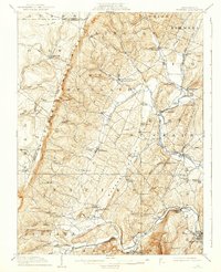
1910 Map of Bedford
USGS Topo · Published 1939About this map
The Allegheny Mountains form a massive natural wall along the western edge of this landscape, deeply influencing the settlement patterns of the early twentieth century. Below these heights, the Raystown Branch Pennsylvania RR and the Juniata River carve a path through the valley, anchoring the regional economy near Bedford and Wolfsburg. The map reveals a high density of rural institutions, particularly through its numerous named schools like Eight Square School and Sloan Hollow School, which served the scattered farming communities in Quaker Valley and East St. Clair. Industrial and logistical points such as Ryan Mill and the Fishertown Station illustrate how local commerce relied on both water power and the burgeoning rail network. Across Chestnut Ridge and into the Cumberland Valley, the network of small post offices, including Pleasantville Alumbank PO and Ogletown Felix PO, shows the vital connection points for these mountain townships.
Find a feature on this map
83 named features on this map. Tap any name to fly to it.
Don’t see what you’re looking for? This feature index may not catch every label — zoom into the map to look around manually.
Map Details
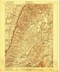
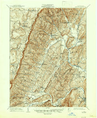
Editions of this 1910 Bedford Map
4 editions found
Other maps of this area

1900 · Everett
USGS Topo · 1:62,500

1902 · Everett
USGS Topo · 1:62,500

1902 · Ebensburg
USGS Topo · 1:62,500

1902 · Hollidaysburg
USGS Topo · 1:62,500

1903 · Hollidaysburg
USGS Topo · 1:62,500

1904 · Ebensburg
USGS Topo · 1:62,500

1904 · Johnstown
USGS Topo · 1:62,500

1907 · Johnstown
USGS Topo · 1:62,500

1908 · Bedford
USGS Topo · 1:62,500

1910 · Bedford
USGS Topo · 1:62,500