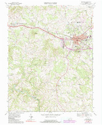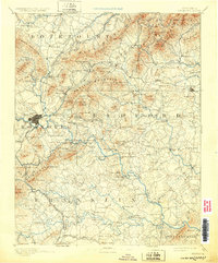
1891 Map of Bedford
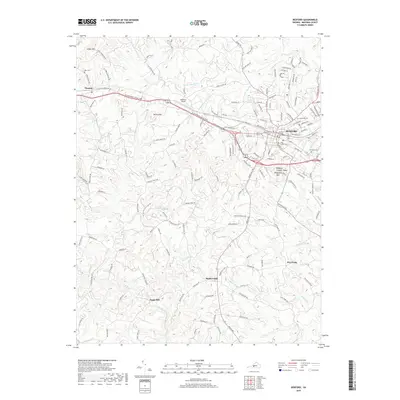
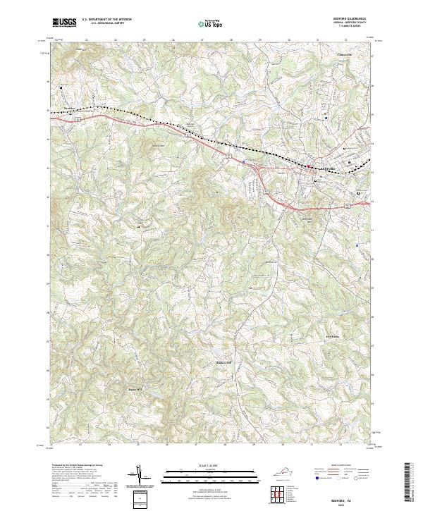
USGS Topo · Published 1932About this map
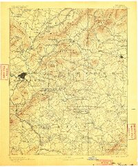
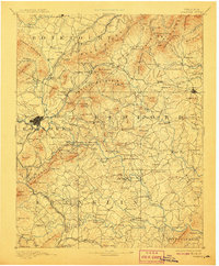
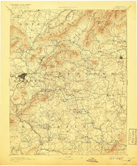
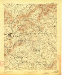
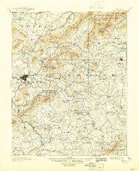
Roanoke and Bedford serve as major centers in this late-19th-century survey of the Virginia interior, where the Norfolk and Western Railroad provides the primary industrial artery. The landscape is defined by the steep rises of Tinker Mountain and Porters Mountain, which hem in a network of water-powered industry and mineral extraction. Notable sites such as the Rorer Mines and Lynchburg Mills illustrate the local economy of the day. Educational and social landmarks are also prominent, including Hollins Inst. and the popular Blue Ridge Springs resort. Deep in the rural valleys of Botetourt and Bedford counties, numerous small congregations and milling operations like Diamond Hill Church and Joppa Mill reveal the scattered nature of settlement before the modern highway system replaced the network of river crossings like Carters Island Ford.
Find a feature on this map
219 named features on this map. Tap any name to fly to it.
Don’t see what you’re looking for? This feature index may not catch every label — zoom into the map to look around manually.
Map Details
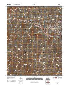
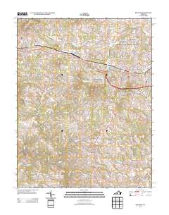
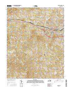
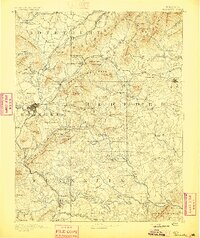
Editions of this 1891 Bedford Map
8 editions found

Historical Maps of Roanoke Through Time
7 maps found