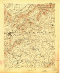
1891 Map of Roanoke
USGS Topo · Published 1923About this map
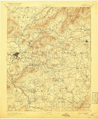
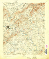
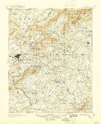
The Blue Ridge mountains dominate this landscape at the intersection of five Virginia counties, where the headwaters of the Roanoke River and Big Otter Creek carve through the steep terrain. Industrial activity is evident at the Rorer Mines and Lynchburg Mines, while the local economy is further anchored by numerous milling operations such as Pattersons Mill and Meadows Mill. This era captures the transition of Liberty and the surrounding valley floor into a major rail corridor, with the Norfolk and Western Railroad and its Shenandoah Valley Div. providing critical connections. The map detail reflects a world of river crossings before modern bridging, naming over a dozen specific points like Hales Ford and Carters Island Ford. Local social life is mapped through landmark institutions such as Hollins Inst. Botetourt Sprs. and numerous country meeting houses including Emmaus Church and Diamond Hill Church.
Find a feature on this map
187 named features on this map. Tap any name to fly to it.
Don’t see what you’re looking for? This feature index may not catch every label — zoom into the map to look around manually.
Map Details
Editions of this 1891 Roanoke Map
8 editions found
Other maps of this area

1887 · Lewisburg
USGS Topo · 1:125,000

1890 · Roanoke
USGS Topo · 1:125,000

1890 · Christiansburg
USGS Topo · 1:125,000

1891 · Roanoke
USGS Topo · 1:125,000

1891 · Lewisburg
USGS Topo · 1:125,000

1892 · Lynchburg
USGS Topo · 1:125,000

1894 · Natural Bridge
USGS Topo · 1:125,000

1894 · Lexington
USGS Topo · 1:125,000

1894 · Natural Bridge
USGS Topo · 1:62,500

1907 · Natural Bridge Special
USGS Topo · 1:62,500