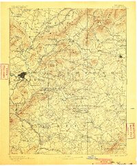
1891 Map of Roanoke
USGS Topo · Published 1900About this map
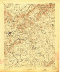
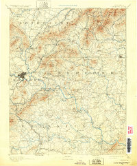
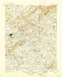
The Roanoke city core and its surrounding mountain gaps are captured here during a period of rapid iron-fueled growth following the merger of the Shenandoah Valley and Norfolk and Western Railroad. The landscape is dominated by the massive ridge of the Blue Ridge mountains, including the iconic Peaks of Otter and Flat Top. While Roanoke serves as the burgeoning industrial hub, the surrounding counties of Botetourt, Bedford, and Franklin remain a network of rural settlements and family enterprises.
Find a feature on this map
231 named features on this map. Tap any name to fly to it.
Don’t see what you’re looking for? This feature index may not catch every label — zoom into the map to look around manually.
Map Details
Editions of this 1891 Roanoke Map
8 editions found
Other maps of this area

1887 · Lewisburg
USGS Topo · 1:125,000

1890 · Roanoke
USGS Topo · 1:125,000

1890 · Christiansburg
USGS Topo · 1:125,000

1891 · Roanoke
USGS Topo · 1:125,000

1891 · Lewisburg
USGS Topo · 1:125,000

1892 · Lynchburg
USGS Topo · 1:125,000

1894 · Natural Bridge
USGS Topo · 1:125,000

1894 · Lexington
USGS Topo · 1:125,000

1894 · Natural Bridge
USGS Topo · 1:62,500

1907 · Natural Bridge Special
USGS Topo · 1:62,500