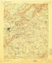
1891 Map of Roanoke
USGS Topo · Published 1918About this map
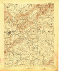
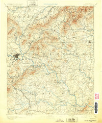
Roanoke serves as the central hub for this late 19th-century survey, positioned where the Roanoke River meets a complex network of ridges and mountain gaps. The map documents a period of industrial activity and established rural infrastructure, evidenced by the Rorer Mines south of the city and the Lynchburg Mines to the northeast. To the north, Fincastle stands as a prominent inland settlement, while the Hollins Inst. Botetourt Sprs marks a significant cultural and geographic landmark.
Find a feature on this map
193 named features on this map. Tap any name to fly to it.
Don’t see what you’re looking for? This feature index may not catch every label — zoom into the map to look around manually.
Map Details
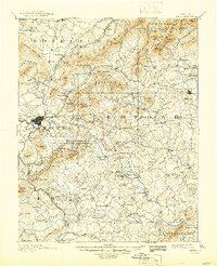
Editions of this 1891 Roanoke Map
8 editions found
Other maps of this area

1887 · Lewisburg
USGS Topo · 1:125,000

1890 · Roanoke
USGS Topo · 1:125,000

1890 · Christiansburg
USGS Topo · 1:125,000

1891 · Roanoke
USGS Topo · 1:125,000

1891 · Lewisburg
USGS Topo · 1:125,000

1892 · Lynchburg
USGS Topo · 1:125,000

1894 · Natural Bridge
USGS Topo · 1:125,000

1894 · Lexington
USGS Topo · 1:125,000

1894 · Natural Bridge
USGS Topo · 1:62,500

1907 · Natural Bridge Special
USGS Topo · 1:62,500