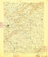
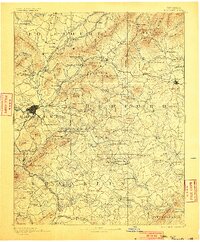
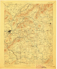
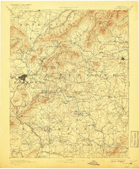
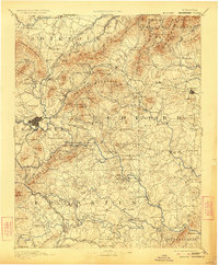
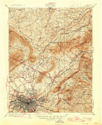
1891 Map of Roanoke
USGS Topo · Published 1896About this map
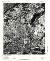
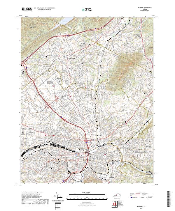
Roanoke serves as the industrial and transportation hub on this late nineteenth-century survey, where the Norfolk and Western Railroad and the Shenandoah Valley Railroad converge. The landscape is defined by the early extraction economy of the Blue Ridge, evidenced by the Rorer Mines and Lynchburg Mines. To the north, the medicinal appeal of the region is noted at Cove Alum Sprs. and Botetourt Sprs., while the cultural landscape includes the Hollins Inst.. Moving south into Franklin and Bedford counties, the map reveals a rural network dependent on river crossings like Hales Bridge and Carters Island Ford. Local commerce centers on family-named landmarks such as Hendricks Store and various milling operations including Dillons Mill and Davis Mill, illustrating a period when the Staunton River and its tributaries were the primary lifelines for dispersed communities.
Find a feature on this map
214 named features on this map. Tap any name to fly to it.
Don’t see what you’re looking for? This feature index may not catch every label — zoom into the map to look around manually.
Map Details
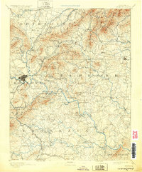
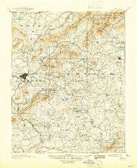
Editions of this 1891 Roanoke Map
8 editions found

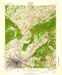
Historical Maps of Roanoke Through Time
15 maps found

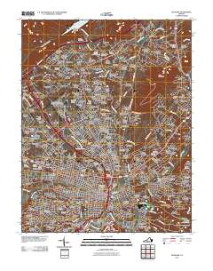
1890 Roanoke
Roanoke City County, VA
1929 Roanoke
Roanoke City County, VA
1933 Roanoke
Roanoke City County, VA

1947 Roanoke
Roanoke City County, VA

1959 Roanoke
Roanoke City County, VA
1962 Roanoke
Roanoke City County, VA

1963 Roanoke
Roanoke City County, VA
1963 Roanoke
Roanoke City County, VA
1971 Roanoke
Roanoke City County, VA
1977 Roanoke
Roanoke City County, VA
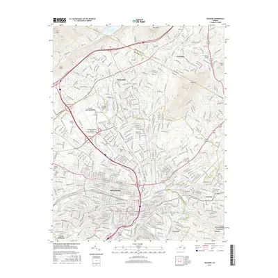
2011 Roanoke
Roanoke City County, VA

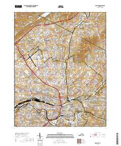
2013 Roanoke
Roanoke City County, VA
2016 Roanoke
Roanoke City County, VA
2019 Roanoke
Roanoke City County, VA
2022 Roanoke
Roanoke City County, VA