Loading...
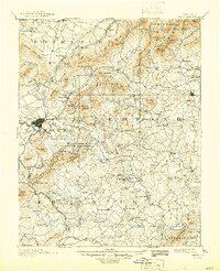
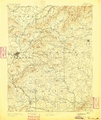
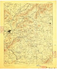
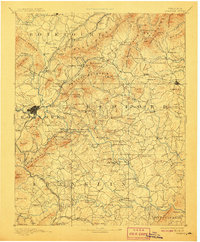
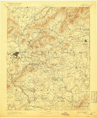
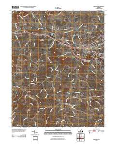
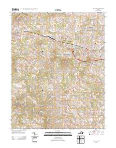
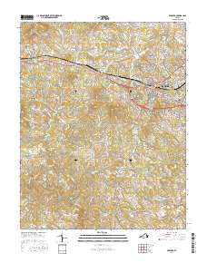
Loading map...1891 Map of Bedford
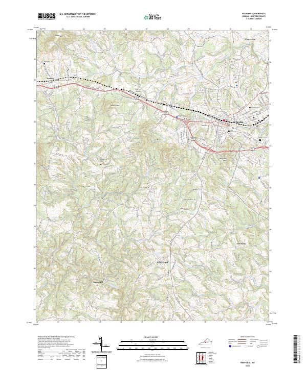
USGS Topo · Published 1945About this map
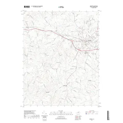
Roanoke serves as a burgeoning rail hub in this late 19th-century survey, where the Roanoke Belt Line R R and Norfolk and Western Railroad converge. The landscape is defined by the sharp transition from the industrial activity at Rorer Mines to the educational grounds of Hollins Inst. (Botetourt Sprs) near Cloverdale. Along the Roanoke River, a complex network of river crossings like Hales Ford and Radfords Ford facilitated commerce and movement before modern bridging was universal.
Find a feature on this map
237 named features on this map. Tap any name to fly to it.
Don’t see what you’re looking for? This feature index may not catch every label — zoom into the map to look around manually.
Map Details
Date Portrayed1891
Date Published1945
PublisherU.S. Geological Survey
Map TypeTopographic
Scale1:125,000
Physical Dimensions16.94 x 20.84 inches
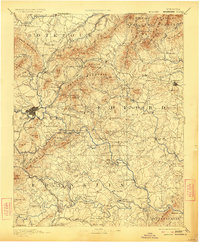
Editions of this 1891 Bedford Map
8 editions found

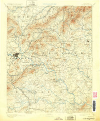
Historical Maps of Roanoke Through Time
7 maps found
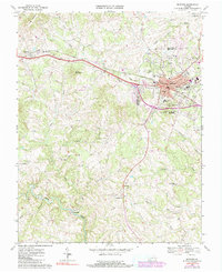
Featured Locations
Source Details
SourceU.S. Geological Survey
CopyrightPublic Domain