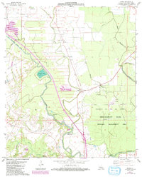
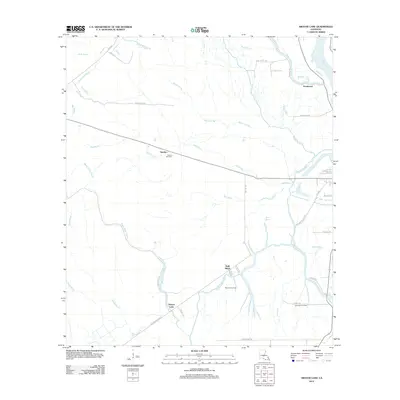
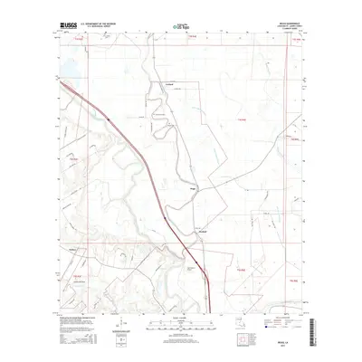
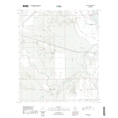
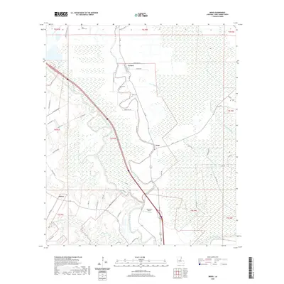
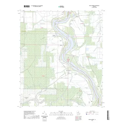
1983 Map of Beggs
USGS Topo · Published 1992About this map
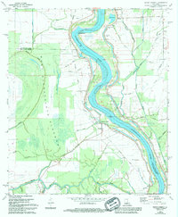
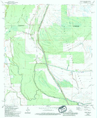
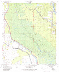
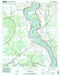
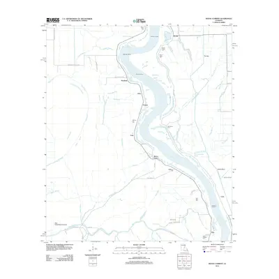
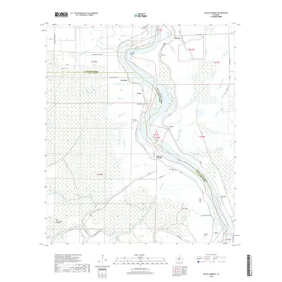
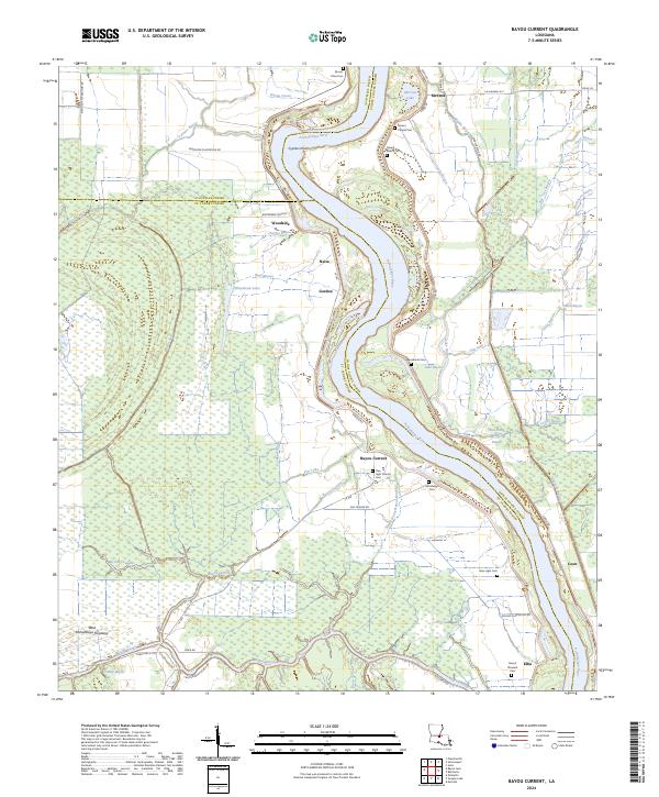
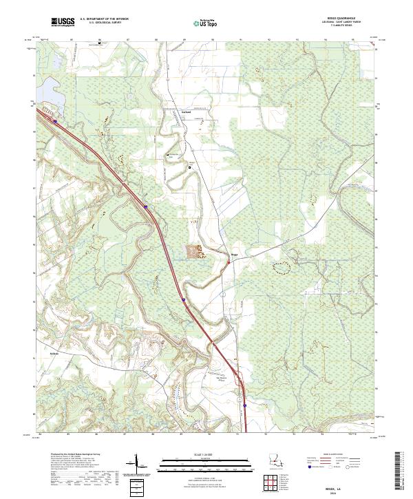
Bayou Cocodrie and Bayou Boeuf meander through this St. Landry Parish landscape, defining a region where water management and industrial extraction intersect. The Boeuf-Cocodrie Diversion Channel cuts a straight path across the terrain, contrasting with the natural curves of Grassy Lake. Evidence of the area's older infrastructure is visible in the Old Railroad Grade passing through Beggs, while the Washington Oil and Gas Field and a network of pipelines indicate the 20th-century economic shift toward energy production.
Find a feature on this map
33 named features on this map. Tap any name to fly to it.
Don’t see what you’re looking for? This feature index may not catch every label — zoom into the map to look around manually.
Map Details
Editions of this 1983 Beggs Map
2 editions found
Historical Maps of Beggs Through Time
38 maps found
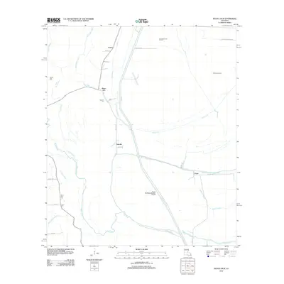
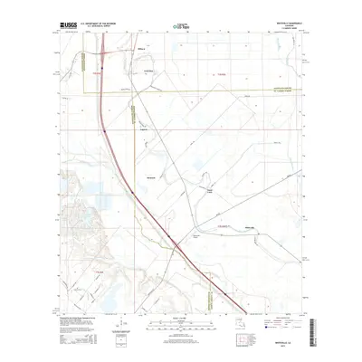
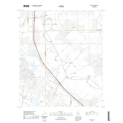
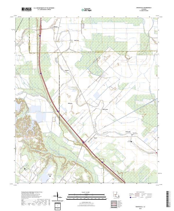
1966 Whiteville
St. Landry Parish, LA
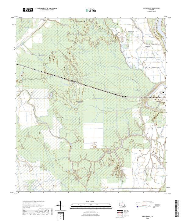
1968 Swayze Lake
St. Landry Parish, LA
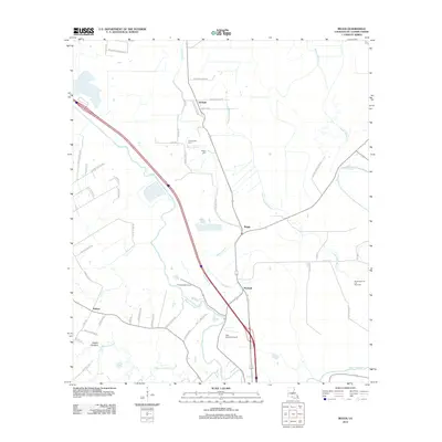
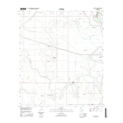
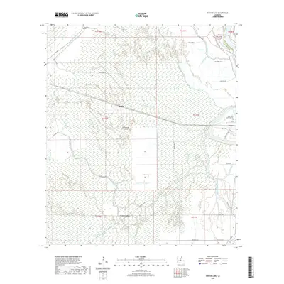
1969 Bayou Current
St. Landry Parish, LA
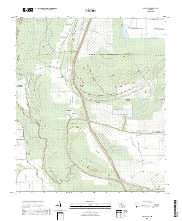
1969 Bayou Jack
St. Landry Parish, LA
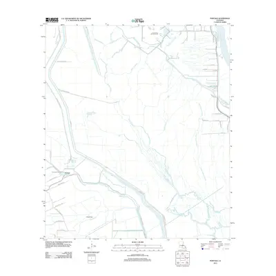
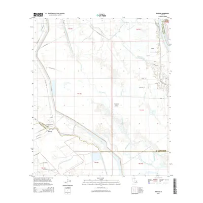
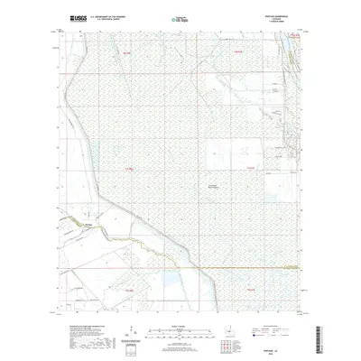
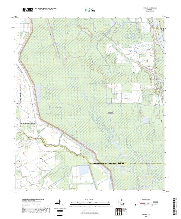
1970 Portage
St. Landry Parish, LA
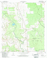
1983 Beggs
St. Landry Parish, LA
1998 Bayou Current
St. Landry Parish, LA
2012 Bayou Current
St. Landry Parish, LA
2012 Bayou Jack
St. Landry Parish, LA
2012 Beggs
St. Landry Parish, LA
2012 Portage
St. Landry Parish, LA
2012 Swayze Lake
St. Landry Parish, LA
2012 Whiteville
St. Landry Parish, LA
2015 Bayou Current
St. Landry Parish, LA
2015 Bayou Jack
St. Landry Parish, LA
2015 Beggs
St. Landry Parish, LA
2015 Portage
St. Landry Parish, LA
2015 Swayze Lake
St. Landry Parish, LA
2015 Whiteville
St. Landry Parish, LA
2018 Bayou Current
St. Landry Parish, LA
2018 Bayou Jack
St. Landry Parish, LA
2018 Beggs
St. Landry Parish, LA
2018 Portage
St. Landry Parish, LA
2018 Swayze Lake
St. Landry Parish, LA
2018 Whiteville
St. Landry Parish, LA
2020 Bayou Current
St. Landry Parish, LA
2020 Bayou Jack
St. Landry Parish, LA
2020 Beggs
St. Landry Parish, LA
2020 Portage
St. Landry Parish, LA
2020 Swayze Lake
St. Landry Parish, LA
2020 Whiteville
St. Landry Parish, LA
2023 Bayou Current
St. Landry Parish, LA
2024 Bayou Current
St. Landry Parish, LA
2024 Bayou Jack
St. Landry Parish, LA
2024 Beggs
St. Landry Parish, LA
2024 Portage
St. Landry Parish, LA
2024 Swayze Lake
St. Landry Parish, LA
2024 Whiteville
St. Landry Parish, LA