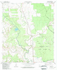
1983 Map of Beggs
USGS Topo · Published 1983About this map
The Southern Pacific railroad corridor anchors this St. Landry Parish landscape, where small hamlets like Beggs, Garland, and Macland are distributed along the rail line and the winding course of Bayou Boeuf. This area reflects a deep integration of waterway and rail transport, where historical family and community sites like Chimleyville Cem, Whipp Cem, and St Agnes Ch are situated between the bayou's natural curves and the straightened efficiency of the Boeuf-Cocodrie Diversion Channel.
Find a feature on this map
28 named features on this map. Tap any name to fly to it.
Don’t see what you’re looking for? This feature index may not catch every label — zoom into the map to look around manually.
Map Details
Editions of this 1983 Beggs Map
2 editions found
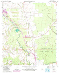
Other maps of this area

1939 · Opelousas
USGS Topo · 1:62,500

1948 · Bunkie
USGS Topo · 1:62,500

1952 · Lake Charles
USGS Topo · 1:250,000

1954 · Lake Charles
USGS Topo · 1:250,000

1954 · Baton Rouge
USGS Topo · 1:250,000

1955 · Odenburg
USGS Topo · 1:62,500

1956 · Opelousas
USGS Topo · 1:62,500

1956 · Baton Rouge
USGS Topo · 1:250,000

1957 · Opelousas
USGS Topo · 1:62,500

1959 · Palmetto
USGS Topo · 1:62,500