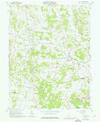
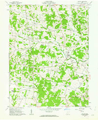
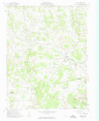
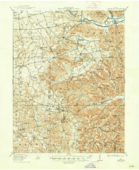
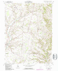
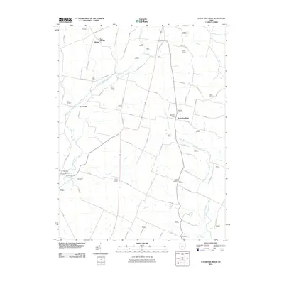
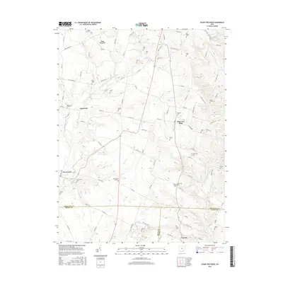
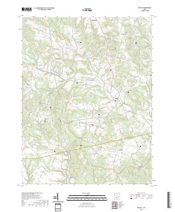
1961 Map of Belfast
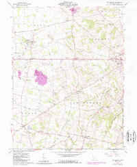
USGS Topo · Published 1976About this map
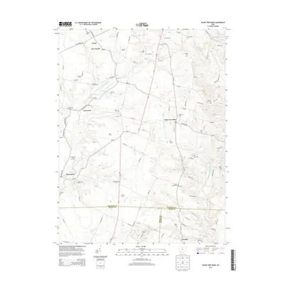
Ohio Brush Creek and its many tributaries, including Lost Fork and Rock Lick Run, carve through this section of Highland and Adams Counties. Small agricultural settlements like Belfast, Berrysville, and Folsom are connected by a network of rural roads that often follow the winding valley floors. The landscape is notably dotted with numerous small family and community burial grounds, such as Walker No 2 Cem, Frazer Cem, and Storer Cem, reflecting a long history of local settlement and genealogical depth.
Find a feature on this map
46 named features on this map. Tap any name to fly to it.
Don’t see what you’re looking for? This feature index may not catch every label — zoom into the map to look around manually.
Map Details
Editions of this 1961 Belfast Map
4 editions found
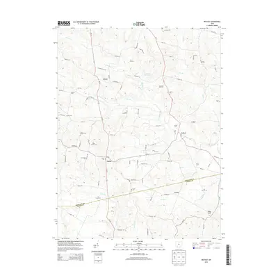
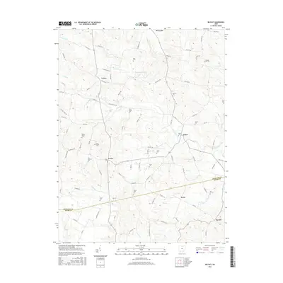
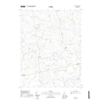
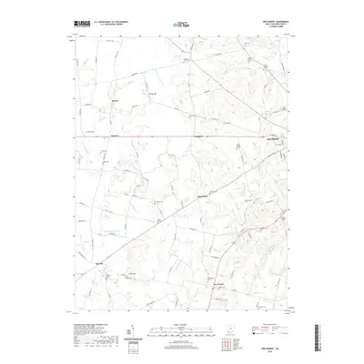
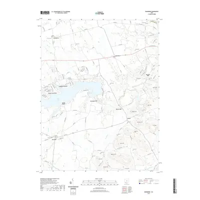
Historical Maps of Folsom Through Time
26 maps found
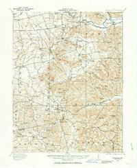
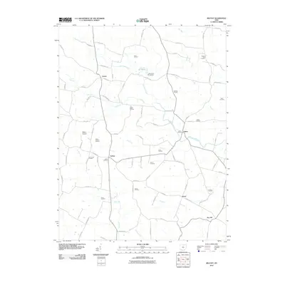
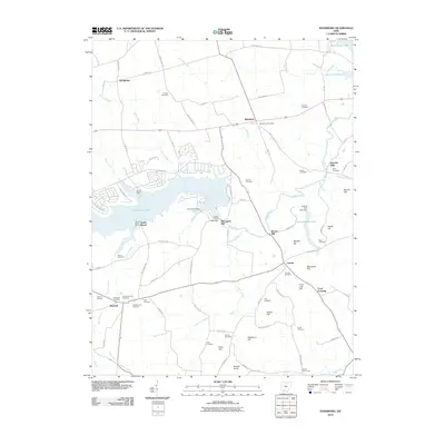
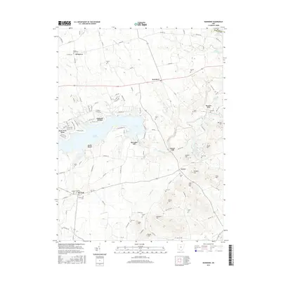
1915 Bainbridge
Highland County, OH
1917 Bainbridge
Highland County, OH
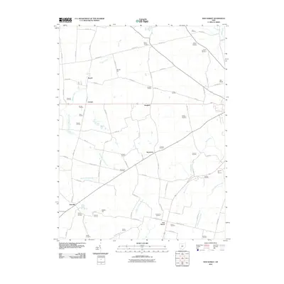
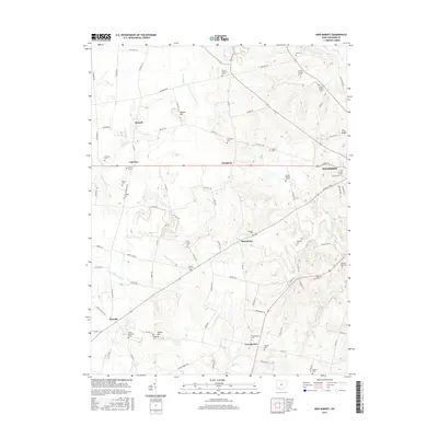
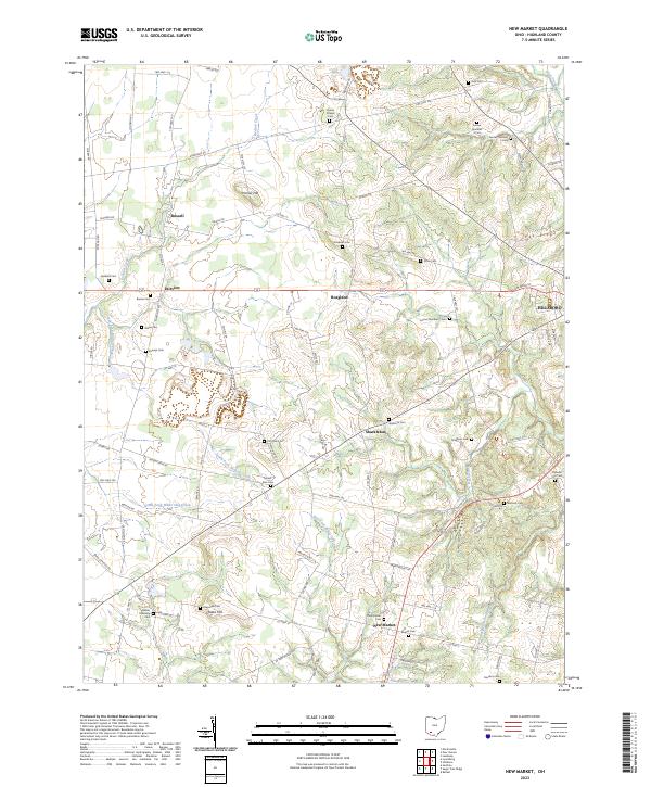
1960 New Market
Highland County, OH
1961 Belfast
Highland County, OH
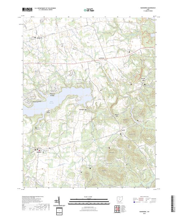
1961 Rainsboro
Highland County, OH
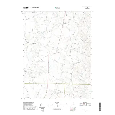
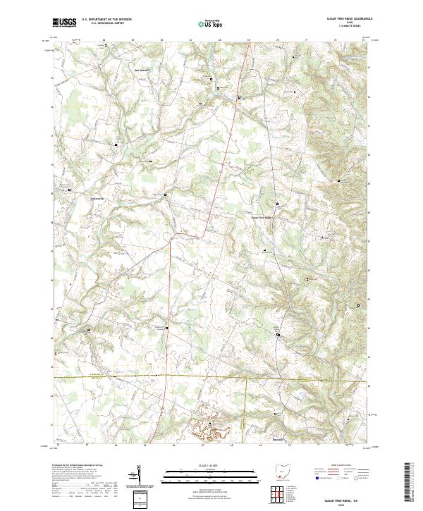
1961 Sugar Tree Ridge
Highland County, OH
2010 Belfast
Highland County, OH
2010 New Market
Highland County, OH
2010 Rainsboro
Highland County, OH
2010 Sugar Tree Ridge
Highland County, OH
2013 Belfast
Highland County, OH
2013 New Market
Highland County, OH
2013 Rainsboro
Highland County, OH
2013 Sugar Tree Ridge
Highland County, OH
2016 Belfast
Highland County, OH
2016 New Market
Highland County, OH
2016 Rainsboro
Highland County, OH
2016 Sugar Tree Ridge
Highland County, OH
2019 Belfast
Highland County, OH
2019 New Market
Highland County, OH
2019 Rainsboro
Highland County, OH
2019 Sugar Tree Ridge
Highland County, OH
2023 Belfast
Highland County, OH
2023 New Market
Highland County, OH
2023 Rainsboro
Highland County, OH
2023 Sugar Tree Ridge
Highland County, OH