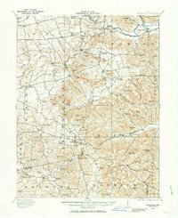
1961 Map of Belfast
USGS Topo · Published 1992About this map
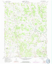
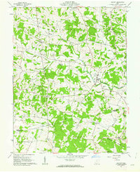
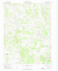
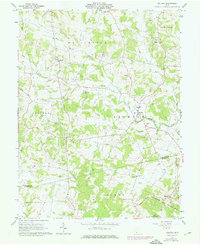
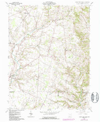
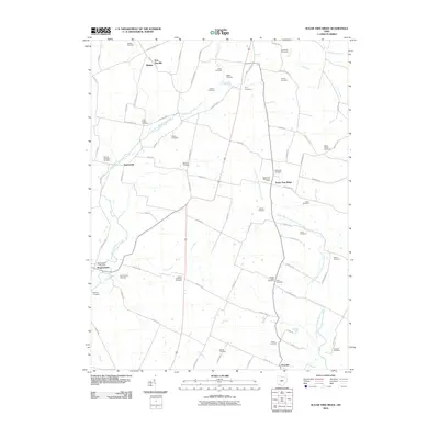
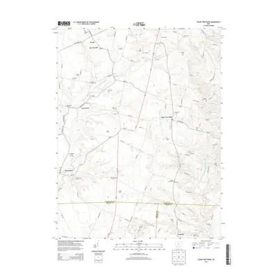
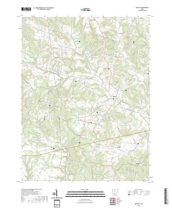
Belfast serves as the focal point for this rural southern Ohio landscape, situated where Ohio Brush Creek and Lick Run converge. The area is defined by its deep spiritual and community roots, evident in the numerous country churches such as Burnetts Chapel, Union Chapel, and Zion Ch that dot the countryside. For genealogists and family historians, the map provides precise locations for many small burial grounds, including the numbered Walker No 1 Cem and Walker No 2 Cem, as well as the Old Concord Cem. The southern portion of the quadrangle transitions into the Tranquility State Wildlife Area, marking a shift from the agrarian settlements of Berrysville, Fairfax, and May Hill toward preserved natural terrain near the Highland and Adams County line.
Find a feature on this map
41 named features on this map. Tap any name to fly to it.
Don’t see what you’re looking for? This feature index may not catch every label — zoom into the map to look around manually.
Map Details
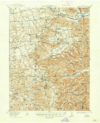
Editions of this 1961 Belfast Map
4 editions found
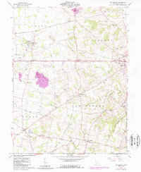
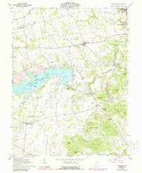
Historical Maps of Folsom Through Time
26 maps found
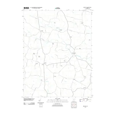
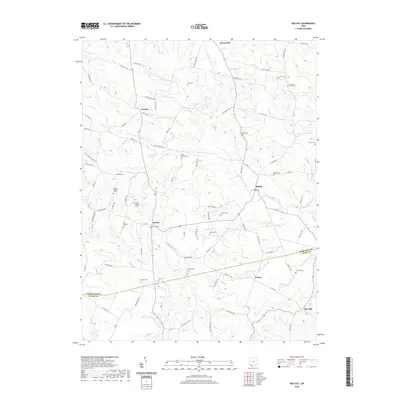
1915 Bainbridge
Highland County, OH
1917 Bainbridge
Highland County, OH
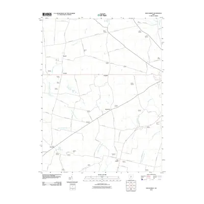
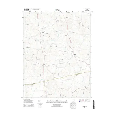
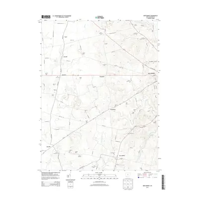
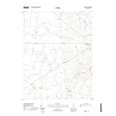
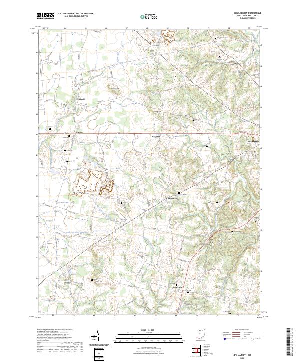
1960 New Market
Highland County, OH
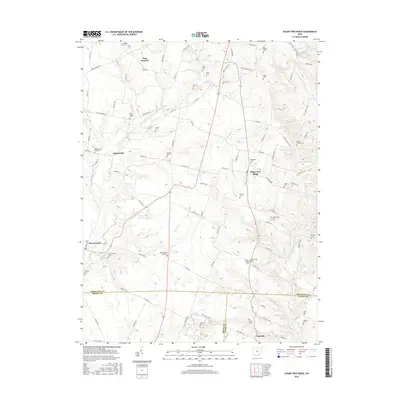
1961 Belfast
Highland County, OH
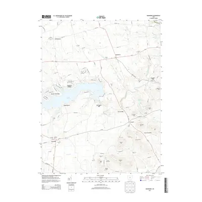
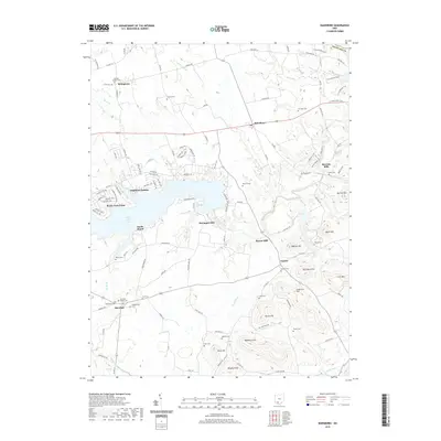
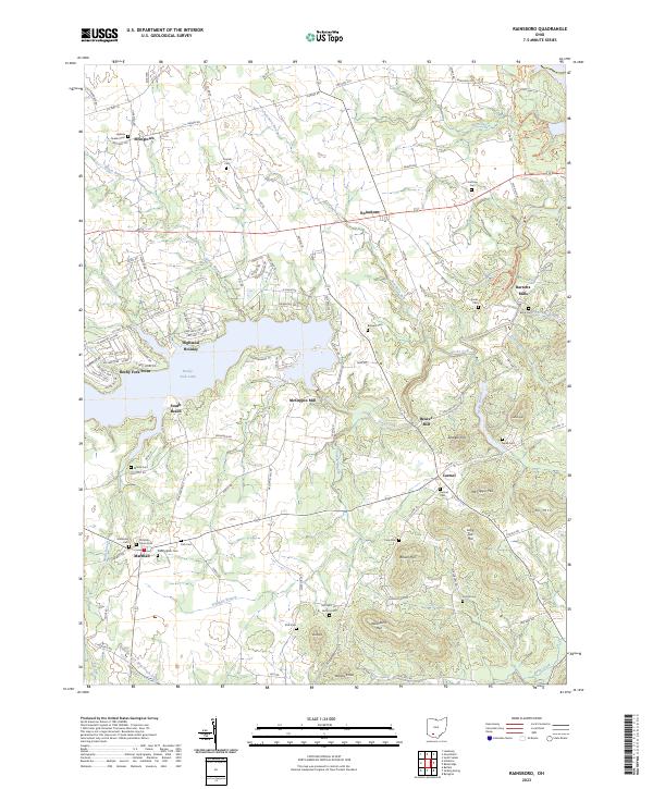
1961 Rainsboro
Highland County, OH
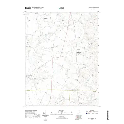
1961 Sugar Tree Ridge
Highland County, OH
2010 Belfast
Highland County, OH
2010 New Market
Highland County, OH
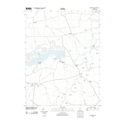
2010 Rainsboro
Highland County, OH
2010 Sugar Tree Ridge
Highland County, OH
2013 Belfast
Highland County, OH
2013 New Market
Highland County, OH
2013 Rainsboro
Highland County, OH
2013 Sugar Tree Ridge
Highland County, OH
2016 Belfast
Highland County, OH
2016 New Market
Highland County, OH
2016 Rainsboro
Highland County, OH
2016 Sugar Tree Ridge
Highland County, OH
2019 Belfast
Highland County, OH
2019 New Market
Highland County, OH
2019 Rainsboro
Highland County, OH
2019 Sugar Tree Ridge
Highland County, OH
2023 Belfast
Highland County, OH
2023 New Market
Highland County, OH
2023 Rainsboro
Highland County, OH
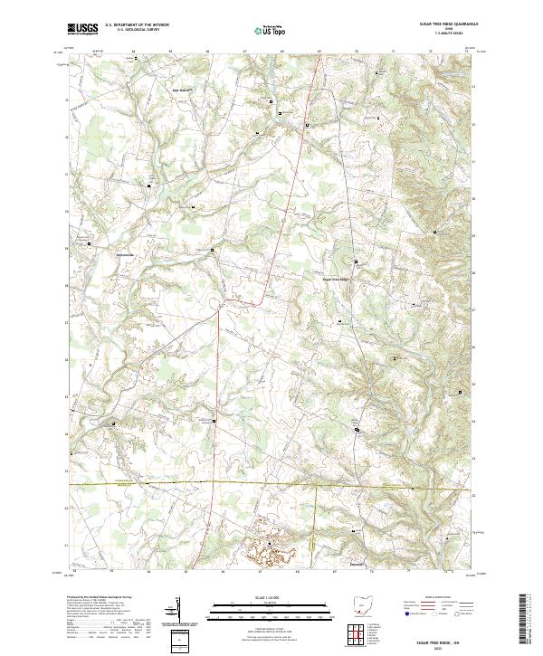
2023 Sugar Tree Ridge
Highland County, OH