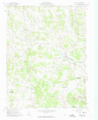
1961 Map of Belfast
USGS Topo · Published 1962About this map
Belfast serves as a central hub in this Highland County landscape, where small rural settlements are linked by the winding course of Brush Creek. The 1961 topography reveals a deeply personal history of the land, marked by numerous small family and community burial grounds including the Walker No 1 Cem, Old Concord Cem, and Palmer Cem. These cemeteries, often positioned near local landmarks like Union Chapel or Burnetts Chapel, indicate a pattern of early settlement that followed the local ridges and stream forks.
Find a feature on this map
45 named features on this map. Tap any name to fly to it.
Don’t see what you’re looking for? This feature index may not catch every label — zoom into the map to look around manually.
Map Details
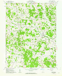
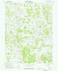
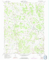
Editions of this 1961 Belfast Map
4 editions found
Other maps of this area

1915 · Bainbridge
USGS Topo · 1:48,000

1916 · Peebles
USGS Topo · 1:62,500

1917 · Bainbridge
USGS Topo · 1:62,500

1917 · Hillsboro
USGS Topo · 1:62,500

1918 · Peebles
USGS Topo · 1:62,500

1918 · Seaman
USGS Topo · 1:62,500

1944 · Hillsboro
USGS Topo · 1:62,500

1947 · Columbus
USGS Topo · 1:250,000

1957 · Huntington
USGS Topo · 1:250,000

1960 · Huntington
USGS Topo · 1:250,000