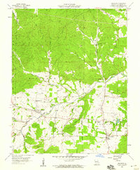
1958 Map of Belgrade
USGS Topo · Published 1959About this map
The Big River winds through the heart of Washington County in this late 1950s survey, anchoring a landscape defined by small rural hubs and mining activity. The settlement of Belgrade sits at the junction of the river and Clear Creek, serving as a central point for the surrounding farmsteads and the nearby Belgrade Sch. To the southeast, the historic village of Caledonia provides a cluster of community landmarks, including the Caledonia Cem and Valley High Sch.
Find a feature on this map
35 named features on this map. Tap any name to fly to it.
Don’t see what you’re looking for? This feature index may not catch every label — zoom into the map to look around manually.
Map Details
Editions of this 1958 Belgrade Map
3 editions found

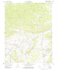
Other maps of this area

1905 · Bonneterre
USGS Topo · 1:62,500

1906 · Potosi
USGS Topo · 1:62,500

1924 · Edgehill
USGS Topo · 1:62,500

1926 · Edgehill
USGS Topo · 1:62,500

1937 · Ironton
USGS Topo · 1:48,000

1945 · Ironton
USGS Topo · 1:62,500

1946 · Ironton
USGS Topo · 1:62,500

1949 · Rolla
USGS Topo · 1:250,000

1953 · Ironton
USGS Topo · 1:62,500

1953 · Rolla
USGS Topo · 1:250,000