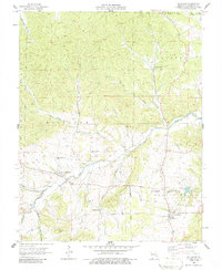
1958 Map of Belgrade
USGS Topo · Published 1986About this map
Belgrade and Caledonia serve as the primary hubs of this Ozark landscape, which is defined by the winding course of the Big River and its numerous tributaries. In the late 1950s, the area retained a strong rural identity, evidenced by several small family cemeteries such as Jane Bryan Cem and Davis Cem, alongside community landmarks like Pleasant Grove Ch. The rugged terrain of the Mark Twain National Forest dominates the western portion, while agricultural land and local education centers like Belgrade Sch and Valley High Sch anchor the valleys. An interesting point of industrial history is found in the scattered Mines north of Flat Creek, signaling the mineral extraction that has historically shaped this part of Washington County. The presence of Spring Glen Lake near the eastern border provides a contrast to the natural drainages of Goose Creek and Kitchell Branch.
Find a feature on this map
30 named features on this map. Tap any name to fly to it.
Don’t see what you’re looking for? This feature index may not catch every label — zoom into the map to look around manually.
Map Details
Editions of this 1958 Belgrade Map
3 editions found
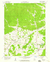

Other maps of this area

1905 · Bonneterre
USGS Topo · 1:62,500

1906 · Potosi
USGS Topo · 1:62,500

1924 · Edgehill
USGS Topo · 1:62,500

1926 · Edgehill
USGS Topo · 1:62,500

1937 · Ironton
USGS Topo · 1:48,000

1945 · Ironton
USGS Topo · 1:62,500

1946 · Ironton
USGS Topo · 1:62,500

1949 · Rolla
USGS Topo · 1:250,000

1953 · Ironton
USGS Topo · 1:62,500

1953 · Rolla
USGS Topo · 1:250,000