
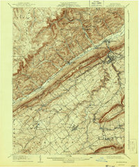
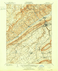
1909 Map of Bellefonte
USGS Topo · Published 1909About this map
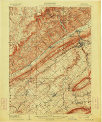
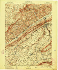
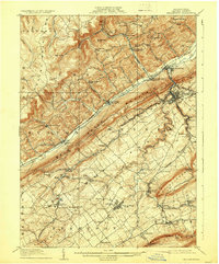
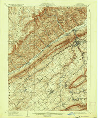
Pennsylvania State College serves as a prominent anchor in the southern portion of this landscape, surrounded by the growing settlements of State College and Lemont. The map captures a complex industrial and transport network, where the Pennsylvania railroad and the Snowshoe Branch negotiate the gaps and ridges of the Allegheny Mountains. To the north, the county seat of Bellefonte is a focal point of activity near the confluence of Spring Creek and the Bald Eagle Creek. The terrain is characterized by a series of parallel ridges including Bald Eagle Ridge and Nittany Mountain, which dictate the placement of post offices like Scotia Benore PO and schools such as Silverdale School. The presence of a Fish Hatchery near Pleasant Gap Sta and the Tramroad in the northern hills reflects the region's diverse economic interests during this era.
Find a feature on this map
83 named features on this map. Tap any name to fly to it.
Don’t see what you’re looking for? This feature index may not catch every label — zoom into the map to look around manually.
Map Details
Editions of this 1909 Bellefonte Map
7 editions found
Other maps of this area

1908 · Bellefonte
USGS Topo · 1:62,500

1919 · Menno
USGS Topo · 1:62,500

1921 · Howard
USGS Topo · 1:48,000

1922 · Philipsburg
USGS Topo · 1:62,500

1923 · Howard
USGS Topo · 1:62,500

1923 · Tyrone
USGS Topo · 1:62,500

1924 · Centre Hall
USGS Topo · 1:62,500

1924 · Lewistown
USGS Topo · 1:62,500

1927 · Lewisburg
USGS Topo · 1:62,500

1928 · Snow Shoe
USGS Topo · 1:48,000