
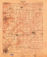
1907 Map of Belleville
USGS Topo · Published 1907About this map
The industrial and agricultural landscape of Southwestern Illinois at the start of the 20th century is defined by a dense web of interlocking rail lines. Belleville and Collinsville anchor this survey, showing the expansion of these communities along the Louisville and Nashville RR and the Pennsylvania and Collinsville RR. The map captures an era of rapid transit development, featuring several electric interurban lines like the St Louis O'Fallon and Lebanon Electric RR that connected smaller settlements such as O'Fallon and Lebanon.
Find a feature on this map
53 named features on this map. Tap any name to fly to it.
Don’t see what you’re looking for? This feature index may not catch every label — zoom into the map to look around manually.
Map Details
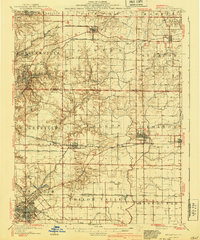
Editions of this 1907 Belleville Map
3 editions found
Other maps of this area

1888 · St. Louis
USGS Topo · 1:62,500

1906 · Breese
USGS Topo · 1:62,500

1907 · Breese
USGS Topo · 1:62,500

1910 · Okawville
USGS Topo · 1:62,500

1910 · Waterloo
USGS Topo · 1:62,500

1912 · New Athens
USGS Topo · 1:62,500

1913 · Waterloo
USGS Topo · 1:62,500

1927 · Alton
USGS Topo · 1:62,500

1927 · Edwardsville
USGS Topo · 1:62,500

1931 · French Village
USGS Topo · 1:24,000