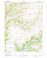
1963 Map of Bellmore
USGS Topo · Published 1975About this map
Guion and Milligan anchor the northeastern landscape of this Parke County survey, reflecting the rural character of Indiana in the early 1960s. The region’s development was deeply influenced by the rail lines that served these small junctions, supporting the agricultural and transport needs of the surrounding township. This edition preserves the local geography after the 1963 revisions, showing the precise alignment of roads and rail routes that connected these small communities to the broader state network.
Find a feature on this map
2 named features on this map. Tap any name to fly to it.
Don’t see what you’re looking for? This feature index may not catch every label — zoom into the map to look around manually.
Map Details
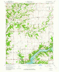
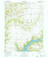
Editions of this 1963 Bellmore Map
3 editions found
Other maps of this area

1948 · Wallace
USGS Topo · 1:24,000

1949 · Alamo
USGS Topo · 1:24,000

1951 · Clinton Falls
USGS Topo · 1:24,000

1951 · Mansfield
USGS Topo · 1:24,000

1952 · Catlin
USGS Topo · 1:24,000

1953 · Indianapolis
USGS Topo · 1:250,000

1955 · Rockville
USGS Topo · 1:24,000

1955 · Russellville
USGS Topo · 1:24,000

1956 · Indianapolis
USGS Topo · 1:250,000

1956 · New Market
USGS Topo · 1:24,000