
1955 Map of Bend
USGS Topo · Published 1964About this map
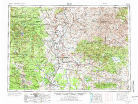
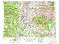
The Warm Springs Indian Reservation and the sprawling heights of the Cascade Range anchor this mid-century landscape of Central Oregon. From the glacial peaks of Mt Hood, Mt Jefferson, and the Three Sisters — North Sister, Middle Sister, and South Sister — the terrain descends through the Deschutes National Forest into a complex network of volcanic features and river canyons. Civil engineering of the era is evident in the Prineville Reservoir and Ochoco Reservoir, while the transportation corridor following the Deschutes River is defined by the Oregon Trunk Line and Spokane Portland and Seattle RR.
Find a feature on this map
171 named features on this map. Tap any name to fly to it.
Don’t see what you’re looking for? This feature index may not catch every label — zoom into the map to look around manually.
Map Details
Editions of this 1955 Bend Map
3 editions found
Other maps of this area

1916 · Estacada
USGS Topo · 1:125,000

1916 · Condon
USGS Topo · 1:125,000

1924 · Mount Hood
USGS Topo · 1:125,000

1925 · Waldo Lake
USGS Topo · 1:125,000

1926 · Mitchell
USGS Topo · 1:125,000

1926 · Bend
USGS Topo · 1:125,000

1927 · Mount Hood
USGS Topo · 1:125,000

1927 · Mt. Jefferson
USGS Topo · 1:125,000

1928 · Madras
USGS Topo · 1:125,000

1929 · Mill City
USGS Topo · 1:125,000