
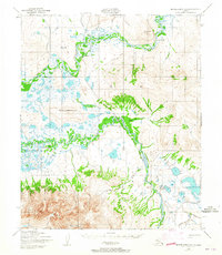
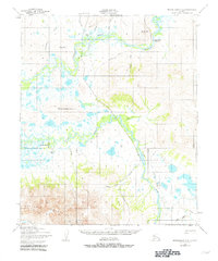
1950 Map of Bendeleben A-6
USGS Topo · Published 1955About this map
The Seward Peninsula Railroad traces a winding path through this 1950 landscape, marking the remnant of a rail system built during the region's mining booms. The terrain transitions from the high peaks of the Kigluaiak Mountains in the south to the expansive marshes and oxbows of the Kruzgamepa River and Kuzitrin River valleys. Along these waterways, evidence of early 20th-century travel and habitation remains in the form of a ferry crossing and a ford near the settlement of Shelton.
Find a feature on this map
28 named features on this map. Tap any name to fly to it.
Don’t see what you’re looking for? This feature index may not catch every label — zoom into the map to look around manually.
Map Details
Editions of this 1950 Bendeleben A-6 Map
3 editions found
Other maps of this area

1907 · Casadepaga
USGS Topo · 1:62,500

1950 · Bendeleben B-5
USGS Topo · 1:63,360

1950 · Bendeleben B-6
USGS Topo · 1:63,360

1950 · Bendeleben A-5
USGS Topo · 1:63,360

1950 · Nome
USGS Topo · 1:250,000

1950 · Teller
USGS Topo · 1:250,000

1950 · Bendeleben
USGS Topo · 1:250,000

1950 · Solomon
USGS Topo · 1:250,000

1950 · Solomon D-6
USGS Topo · 1:63,360

1950 · Nome D-1
USGS Topo · 1:63,360