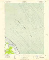
1956 Map of Bennetts Pier
USGS Topo · Published 1957About this map
Milford Neck and the tidal marshes of Kent County define this 1956 coastal survey, capturing the Delaware shoreline before late-century development and environmental shifts. The small waterfront settlement of Bennetts Pier sits at the edge of the Delaware Bay, connected by a network of drainage channels and wetlands including Brockonbridge Gut. The map reveals a transition from the terrestrial landscape of District No 10 to the vast underwater topography of the bay, where depth soundings and contour lines trace the floor near Blake Channel.
Find a feature on this map
9 named features on this map. Tap any name to fly to it.
Don’t see what you’re looking for? This feature index may not catch every label — zoom into the map to look around manually.
Map Details
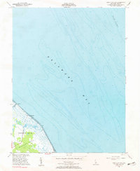
Editions of this 1956 Bennetts Pier Map
2 editions found
Other maps of this area

1890 · Maurice Cove
USGS Topo · 1:62,500

1891 · Maurice Cove
USGS Topo · 1:62,500

1899 · Vineland
USGS Topo · 1:125,000

1918 · Cedar Creek
USGS Topo · 1:62,500

1918 · Cape Henlopen
USGS Topo · 1:62,500

1919 · Cedar Creek
USGS Topo · 1:62,500

1919 · Vineland
USGS Topo · 1:125,000

1934 · Bowers
USGS Topo · 1:48,000
1936 · Bowers
USGS Topo · 1:62,500

1937 · Cape Henlopen
USGS Topo · 1:62,500